.hero.jpg?w=1024)
Description
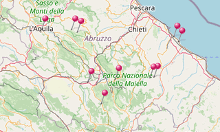
Abruzzo is a region in central Italy, its western border lying less than 80 km east of Rome. Abruzzo borders the region of Marche to the north, Lazio to the west and south-west, Molise to the south-east, and the Adriatic Sea to the east.
Geographically, it is more of a central than southern region, though ISTAT (the Italian statistical authority) considers it part of Southern Italy, a vestige of Abruzzo’s historic association with the Kingdom of the Two Sicilies.
Map
List of sights
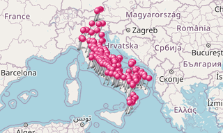
461 Photos
-Festa-dei-serpari.hero.jpg?w=320)
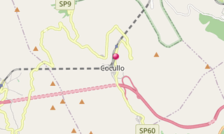
Cocullo
61 Photos
Cocullo is a village in the Abruzzo situated in the Peligna Valley, between the towns of Avezzano and Sulmona. Cocullo is known for his singular patron …
.hero.jpg?w=320)
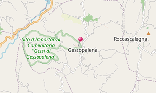
Gessopalena
40 Photos
Gessopalena is a town in the Abruzzo 644 m above the sea level. Inhabited since Pre-Roman times, in the early Middle Ages it consisted of a group of houses …
-San-Bernardino.hero.jpg?w=320)
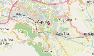
L’Aquila
29 Photos
L’Aquila, less than 2 hours’ drive from Rome, is the capital of the Abruzzo region surrounded by mountains like the Gran Sasso at 2,912 m, the highest point …
.hero.jpg?w=320)
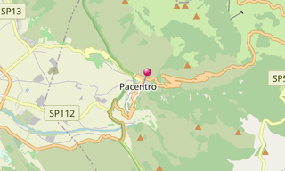
Pacentro
13 Photos
Pacentro, a municipality of the province of L’Aquila in Abruzzo, is a well preserved historic medieval village located in the central part of Italy, several …
.hero.jpg?w=320)
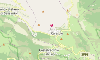
Rocca di Calascio
100 Photos
Rocca di Calascio, at an elevation of 1,460 m, is the highest fortress in Italy located in the province of L’Aquila. It was exclusively built for military …
.hero.jpg?w=320)
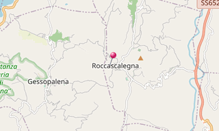
Roccascalegna
80 Photos
Roccascalegna is a village in the Abruzzo, 455 m above sea level on a rocky hills dominating the Rio Secco valley, an affluent on the right bank of the …
.hero.jpg?w=320)
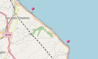
San Vito Chietino
88 Photos
San Vito Chietino is a village in the Abruzzo. The town is home to the “La Costa dei Trabocchi”. Trabocchi (Trabucchi) are giant wooden platforms built …
.hero.jpg?w=320)
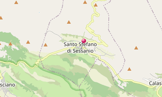
Santo Stefano di Sessanio
28 Photos
Santo Stefano di Sessanio is a hill town in the province of L’Aquila adjacent to the high plain of Campo Imperatore. It is located in the natural park known …
.hero.jpg?w=320)
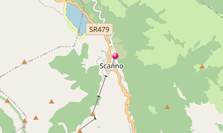
Scanno
22 Photos
Scanno is a town with alleys and narrow streets in the province of L’Aquila, in the Abruzzo region of central Italy.
Related topics
.hero.jpg?w=320)
Italy
13,639 Photos
Italy, officially Repubblica Italiana, is a country located partly on the European Continent and partly on the Italian Peninsula in Southern Europe and …