.hero.jpg?w=1024)
Description
The Acarouany leprosarium is a historical monument of French Guiana located in the town of Mana. In the 18th century, leprosy, imported by European settlers and slaves, affects the territory of French Guiana.
The first leper colonies are installed on the Ilet La Mère off the coast of Ré (in 1774), and on the Iles du Salut off the coast of Kourou (in 1821).
In 1836, the Reverend Mother Javouhey installs a leper colony on the royal domain of Acarouany. In 1974, the property is converted into rehabilitation centre.
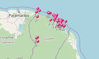
Map
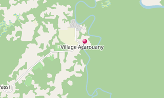
★ Open the Google Maps link in a new window at the location: Acarouany
Photo gallery
87 Photos
.jpg)
.jpg)
.jpg)
.jpg)
.jpg)
.jpg)
.jpg)
.jpg)
.jpg)
.jpg)
.jpg)
.jpg)
.jpg)
.jpg)
.jpg)
.jpg)
.jpg)
.jpg)
.jpg)
.jpg)
.jpg)
.jpg)
.jpg)
.jpg)
.jpg)
.jpg)
.jpg)
.jpg)
.jpg)
.jpg)
.jpg)
.jpg)
.jpg)
.jpg)
.jpg)
.jpg)
.jpg)
.jpg)
.jpg)
.jpg)
.jpg)
.jpg)
.jpg)
.jpg)
.jpg)
.jpg)
.jpg)
.jpg)
.jpg)
.jpg)
.jpg)
.jpg)
.jpg)
.jpg)
.jpg)
.jpg)
.jpg)
.jpg)
.jpg)
.jpg)
★ Don’t miss: The most beautiful photos of America
Related topics
.hero.jpg?w=320)
French Guiana
1,873 Photos
French Guiana is an overseas department and region of France on the north Atlantic coast of South America. It borders Brazil to the east and south, and …