.hero.jpg?w=1024)
Description
Lazio is one of the 20 administrative regions of Italy, situated in the central peninsular section of the country. With about 5.7 million residents and a GDP of more than 170 billion euros, Lazio is the third most populated region of Italy, and has the second largest economy of the nation. Its capital is Rome, capital and largest city of Italy.
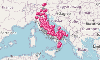
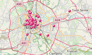
Map
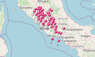
List of sights
5,397 Photos
.hero.jpg?w=320)
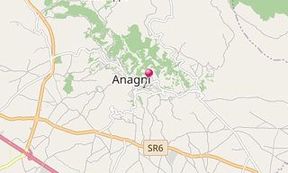
Anagni
24 Photos
Anagni, with the Duomo Santa Maria, is the birth place of the pope Boniface VIII in the 13th century. The Crypt of San Magno has frescoes from the 12th …
.hero.jpg?w=320)
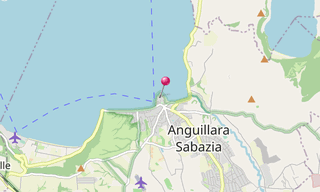
Anguillara Sabazia
62 Photos
Anguillara Sabazia is a town in the Lazio, around 30 km north-west of Rome. It nestles on a small cape on the coast of the Lake Bracciano. The lake owes …
.hero.jpg?w=320)
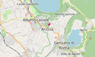
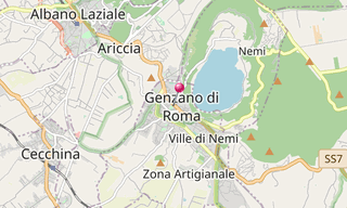
Ariccia
5 Photos
Ariccia is a town and comune in the Province of Rome. It is in the Alban Hills of the Lazio region and could be considered an extension of Rome’s southeastern …
.hero.jpg?w=320)
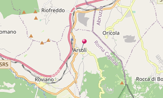
Arsoli
26 Photos
Arsoli, in the province of Rome, dates back to the 11th century and has nice narrow ancient streets, a medieval centre still preserved, as well as a castle, …
.hero.jpg?w=320)
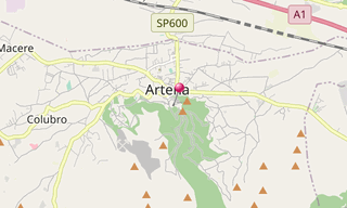
Artena
14 Photos
Artena is a village 30 km of Rome, situated in the north-west of Monti Lepini, in the upper valley of the Sacco River. On the mountain above the village …
.hero.jpg?w=320)
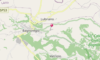
Bagnoregio
65 Photos
Bagnoregio is located about 90 km north-west of Rome and about 28 km north of Viterbo. Anciently it was called Novempagi and Balneum Regium, whence the …
.hero.jpg?w=320)
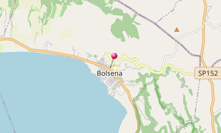
Bolsena
28 Photos
Bolsena is a town in the province of Viterbo in northern Lazio on the eastern shore of Lake Bolsena. It is 10 km north-north west of Montefiascone and 36 km …
.hero.jpg?w=320)
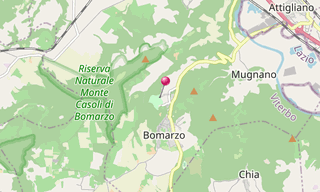
Bomarzo
90 Photos
The Parco dei Mostri in the Sacro Bosco close to Bomarzo was created between 1522 and 1580 by Duke Vicino Orsini. The park of Bomarzo was intended not to …
.hero.jpg?w=320)
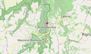
Calcata
98 Photos
Calcata, in the Province of Viterbo, is located 50 km north of Rome over the valley of the Treja River. In the 1930s, the fortified centre was condemned …
.hero.jpg?w=320)
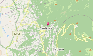
Cantalice
50 Photos
Cantalice is a town in the Province of Rieti in the Italian region Latium, located about 70 km north-east of Rome and about 8 km north-east of Rieti.
.hero.jpg?w=320)
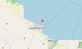
Capodimonte
44 Photos
Capodimonte is a village in the Lazio, located about 90 km north-west of Rome and about 20 km north-west of Viterbo. It is on the south-western shore of …
.hero.jpg?w=320)
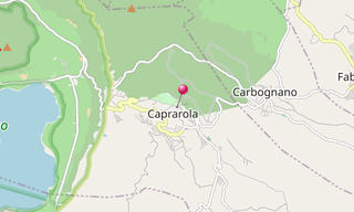
Caprarola
38 Photos
The Palazzo Farnese located in the medieval village of Caprarola was designed by Vignola and built between 1559 and 1575. It takes its pentagonal shape …
.hero.jpg?w=320)
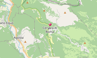
Cervara di Roma
58 Photos
Cervara di Roma, located about 50 km east of Rome, was founded by Benedictine Monks in the 8th or 9th century. The historic centre of Cervara, this small …
.hero.jpg?w=320)
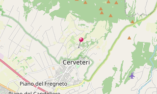
Cerveteri
82 Photos
The Necropolis della Banditaccia in Cerveteri, which has been declared by UNESCO World Heritage Site together with the necropolis in Tarquinia covers an …
.hero.jpg?w=320)
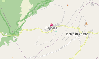
Farnese
60 Photos
Farnese in the Province of Viterbo is located about 100 km north-west of Rome and about 35 km north-west of Viterbo and is the origin of the influential …
.hero.jpg?w=320)
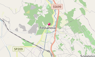
Fossanova
64 Photos
Fossanova Abbey is located about 100 km south-east of Rome. It is the finest example of a Cistercian Abbey and of the Burgundian Early Gothic style in …
.hero.jpg?w=320)
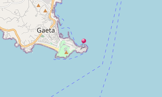
Gaeta
8 Photos
Gaeta is a city and municipality in the province of Latina, in Lazio. Set on a promontory stretching towards the Gulf of Gaeta, it is 120 km from Rome and …
.hero.jpg?w=320)
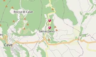
Genazzano
20 Photos
Genazzano, is a town in the province of Rome, starting from the Monti Prenestini, ends on the Sacco River valley. In the 11th century it was a fief of the …
.hero.jpg?w=320)
Genzano di Roma
587 Photos
Genzano di Roma is a town and comune in the province of Rome, in the Lazio region of central Italy. It is one of the Castelli Romani, at a distance of 29 km …
.hero.jpg?w=320)
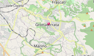
Grottaferrata
60 Photos
Grottaferrata is a small town situated on the lower slopes of the Alban Hills, 20 km south east of Rome. The Abbey of Santa Maria di Grottaferrata (also …
.hero.jpg?w=320)
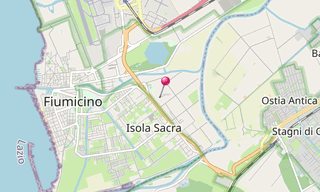
Isola Sacra
12 Photos
The Isola Sacra Necropolis was the first large-scale pagan cemetery of Roman Imperial times to be excavated. The excavator-in-chief of most of Isola Sacra …
.hero.jpg?w=320)
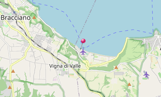
Italian Air Force Museum Vigna di Valle
130 Photos
The Italian Air Force Museum is an aircraft museum at Vigna di Valle, on Lake Bracciano (Lazio), in central Italy. It is operated by the Aeronautica Militare …
.hero.jpg?w=320)
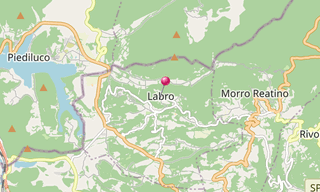
Labro
44 Photos
Labro, a municipality in the Italian region Latium, is located about 70 km north-east of Rome and about 15 km north-west of Rieti.
.hero.jpg?w=320)
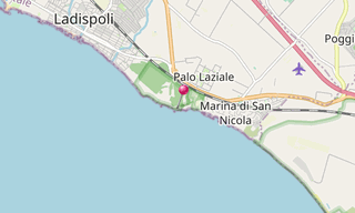
Ladispoli
44 Photos
Ladispoli occupies the area of the ancient Alsium, the port of the Etruscan city of Cerveteri. It was destroyed in the 6th century, during the Gothic War …
.hero.jpg?w=320)
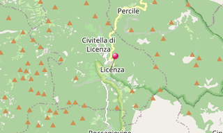
Licenza
16 Photos
Licenza is a village located about 40 km north-east of Rome.Spring of Bandusia, Orsini castle, Villa of Horace
/Marta-(014).hero.jpg?w=320)
Marta (Lazio)
9 Photos
Marta is a comune in the Province of Viterbo in the Italian region Latium, located about 80 km northwest of Rome and about 20km northwest of Viterbo. Marta …
.map.png)
.hero.jpg?w=320)
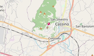
Montecassino Abbey
18 Photos
The Abbey of Montecassino located on a hill close to Cassino, was founded around 529 by St Benedict. Considered as an important centre of learning since …
.hero.jpg?w=320)
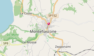
Montefiascone
80 Photos
Montefiascone is perched on the edge of a hill south-east of Lake Bolsena. The name of the city derives from that of the Falisci (Mons Faliscorum, “Mountain of the Falisci …
.hero.jpg?w=320)
Norchia
32 Photos
Norchia is an ancient Etruscan city with an adjacent necropolis which reached its high point between the 4th and 2nd centuries BC. The tombs are generally …
.hero.jpg?w=320)
Oasi di Ninfa
30 Photos
In the valley bellow Sermoneta lays the abandoned village of Ninfa converted since 1921 in a garden (Oasi di Ninfa).
.hero.jpg?w=320)
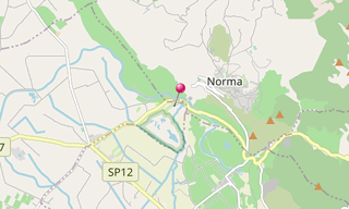
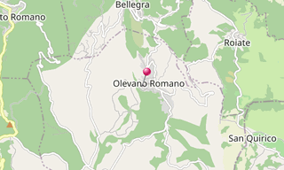
Olevano Romano
24 Photos
Olevano Romano is a municipality located about 45 km east of Rome. It is the birthplace of the composer Giovanni Gentile.
.hero.jpg?w=320)
Ostia Antica
96 Photos
As main port of the antic Rome, Ostia (Ostia Antica) was a busy trading centre over 6 centuries until the 5th century.The main street, the Decumanus Maximus …

.hero.jpg?w=320)
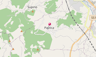
Patrica
40 Photos
Patrica is a village in the Italian region Lazio, located about 70 km south-east of Rome and about 10 km south-west of Frosinone. It is part of Ciociaria …
.hero.jpg?w=320)
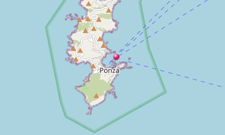
Ponza
210 Photos
Isola Di Ponza is the largest of the Italian Pontine Islands (which are the remains of extinct volcanos), located 33 km south of Cape Circeo in the Tyrrhenian Sea …
.hero.jpg?w=320)
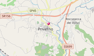
Priverno
12 Photos
Priverno was a flourishing Volscian site near the Via Appia, conquered and destroyed by the Romans in the late 4th century BC. It includes the Communal …
.hero.jpg?w=320)
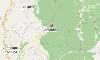
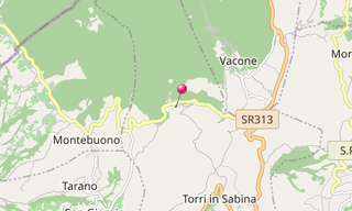
Roccantica
20 Photos
Roccantica is an Italian commune in the province of Rieti in the Lazio region. Roccantica is 68 km north of Rome and 35 km southwest of Rieti. It is located …
.hero.jpg?w=320)
Rocchette
32 Photos
Rocchette is a village located in the heart of Sabina in the Lazio. A few kilometres from the border with Umbria, the twin strongholds of Rocchette and …
.hero.jpg?w=320)
Rome
2,261 Photos
Rome is the capital of Italy and also of the homonymous province and of the region of Lazio. With 2.7 million residents in 1,285.3 km², it is also the country’s …
.hero.jpg?w=320)
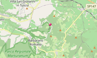
San Guiliano
10 Photos
San Guiliano is an Etruscan centre 2 km north-east of Barbarano Romano. The most important tombs found in the necropolis of Cuccumella del Caiolo are the …
.hero.jpg?w=320)
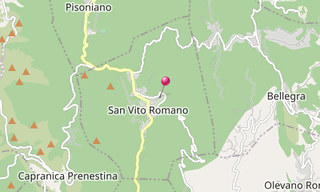
San Vito Romano
16 Photos
San Vito Romano, a municipality in the Italian region Latium, is located about 40 km east of Rome.
.hero.jpg?w=320)
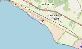
Santa Severa
28 Photos
Santa Severa is part of the municipality of Santa Marinella, in the province of Rome. It is a small sea resort on the Via Aurelia, 8 km south of Santa Marinella …
.hero.jpg?w=320)
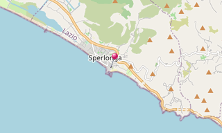
Sperlonga
42 Photos
Sperlonga is a coastal town about half way between Rome and Naples. Surrounding towns include Terracina to the West, Fondi to the North, Itri to the North-East, …
.hero.jpg?w=320)
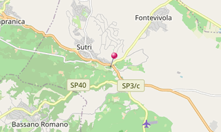
Sutri
44 Photos
Sutri (ancient Sutrium) occupied an important position on road into Etruria, the later Via Cassia. It came into the hands of Rome after the fall of Veii …
.hero.jpg?w=320)
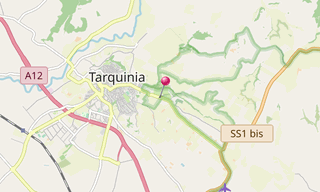
Tarquinia
36 Photos
Tarquinia was the chief of the twelve cities of Etruria, and appears in the earliest history of Rome as the home of two of its kings, Tarquinius Priscus …
.hero.jpg?w=320)
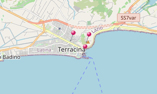
Terracina
56 Photos
Terracina was also called Volscian Anxur which is the name of Jupiter himself as a youth (Iuppiter Anxur or Anxurus), the tutelary god of the city. The …
.hero.jpg?w=320)
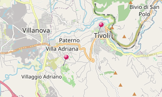
Tivoli
146 Photos
Tivoli, the classical Tibur, is an ancient town in Lazio, about 30 km from Rome, at the falls of the Aniene River, where it issues from the Sabine hills …
.hero.jpg?w=320)
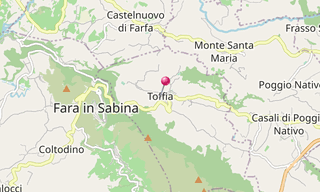
Toffia
38 Photos
Toffia is a village in the Province of Rieti in the Italian region Lazio, located about 40 km north-east of Rome and about 25 km south-west of Rieti.
.hero.jpg?w=320)
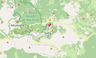
Tolfa
31 Photos
Tolfa is a town of the Province of Rome. It is the main centre in the Tolfa Mountains, an extinct volcanic group between Civitavecchia and the Lake of Bracciano …
.hero.jpg?w=320)
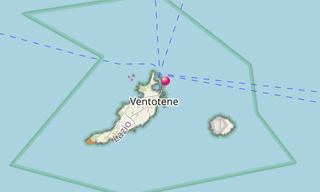
Ventotene
164 Photos
Ventotene, in Roman times known as Pandateria, is one of the Pontine Islands in the Tyrrhenian Sea, 46 km off the coast of Gaeta right at the border between …
.hero.jpg?w=320)
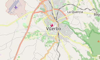
Viterbo
40 Photos
Viterbo is an ancient city approximately 80 km north of Rome on the Via Cassia, and it is surrounded by the Monti Cimini and Monti Volsini. The historic …
.hero.jpg?w=320)
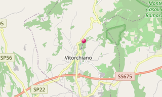
Vitorchiano
112 Photos
Vitorchiano is a village in the Latium, located about 70 km north-west of Rome and about 7 km north-east of Viterbo.
.hero.jpg?w=320)
Vulci
41 Photos
Vulci is an Etruscan city which began to expand in the 8th century BC and was surrounded by a 6.5 km wall.The Ponte dell’Abbadia is a 30 m high bridge over …
Related topics
.hero.jpg?w=320)
Italy
13,639 Photos
Italy, officially Repubblica Italiana, is a country located partly on the European Continent and partly on the Italian Peninsula in Southern Europe and …