.hero.jpg?w=1024)
Description
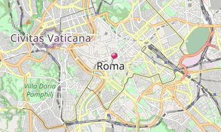
The Roman Empire was the post-Republican period of ancient Rome. As a polity it included large territorial holdings around the Mediterranean Sea in Europe, Northern Africa, and Western Asia ruled by emperors.
From the accession of Caesar Augustus to the military anarchy of the 3rd century, it was a principate with Italy as metropole of the provinces and the city of Rome as sole capital (27 BC – AD 286).
After the military crisis, the empire was ruled by multiple emperors who shared rule over the Western Roman Empire and over the Eastern Roman Empire (also known as the Byzantine Empire). …
Show the remaining text
Rome remained the nominal capital of both parts until AD 476, when the imperial insignia were sent to Constantinople, following the capture of Ravenna by the barbarians of Odoacer and the subsequent deposition of Romulus Augustulus.
The adoption of Christianity as the state church of the Roman Empire in AD 380 and the fall of the Western Roman Empire to Germanic kings conventionally marks the end of Classical antiquity and the beginning of the Middle Ages.
Those events, along with the gradual hellenization of the Eastern Roman Empire is why historians distinguish the medieval Roman Empire that remained in the Eastern provinces as the Byzantine Empire.
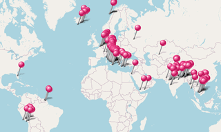
Map
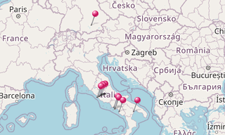
List of sights
992 Photos
.hero.jpg?w=320)
Appian Way
25 Photos
The Appian Way was one of the earliest and strategically most important Roman roads of the ancient republic. It connected Rome to Brindisi, Puglia, in south-east …
.hero.jpg?w=320)
Aula Ottagona
48 Photos
The Aula Ottagona is part of Diocletian’s Baths and used to be called the Hall of Minerva. Probably designed originally to provide a concourse area, it …
.hero.jpg?w=320)
Capitoline Hill
19 Photos
The Capitoline Hill (Campidoglio), between the Forum and the Campus Martius, is one of the Seven Hills of Rome. It was the citadel (equivalent of the ancient …
.hero.jpg?w=320)
Capitoline Museums
77 Photos
The Capitoline Museums (Italian Musei Capitolini) are a group of art and archaeological museums in Piazza del Campidoglio, on top of the Capitoline Hill …

.hero.jpg?w=320)
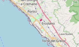
Ercolano
103 Photos
Ercolano (Herculaneum) is an ancient Roman town, located in the province of Naples which has been destroyed, along with Pompeii, in the eruption of Mount Vesuvius …
/Glyptothek-(337).hero.jpg?w=320)
Glyptothek (Munich)
90 Photos
The Glyptothek is a museum in Munich, Germany, which was commissioned by the Bavarian King Ludwig I to house his collection of Greek and Roman sculptures. …
.map.png)
.hero.jpg?w=320)
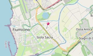
Isola Sacra
12 Photos
The Isola Sacra Necropolis was the first large-scale pagan cemetery of Roman Imperial times to be excavated. The excavator-in-chief of most of Isola Sacra …
.hero.jpg?w=320)
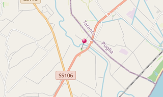
Metaponto
32 Photos
Metaponto is a small town of about 1,000 people in the province of Matera, Basilicata. Metapontum was a Greek city founded by an Achaean Colony. Pythagoras …
.hero.jpg?w=320)
Ostia Antica
96 Photos
As main port of the antic Rome, Ostia (Ostia Antica) was a busy trading centre over 6 centuries until the 5th century.The main street, the Decumanus Maximus …

.hero.jpg?w=320)
Paestum
60 Photos
Paestum, situated close to the tyrrhenian coast on the road linking Agropoli to Battipaglia, was founded around the end of the 7th century BC by colonists …
/Pantheon-(052).hero.jpg?w=320)
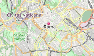
Pantheon (Rome)
15 Photos
The Pantheon is a building in Rome, commissioned by Marcus Agrippa as a temple to all the gods of Ancient Rome, and rebuilt by Emperor Hadrian in about …
.map.png)
.hero.jpg?w=320)
Parco degli Acquedotti
40 Photos
The Parco degli Acquedotti is a public park in Rome, named after the aqueducts, crossed by the Aqua Felix and containing part of the Aqua Claudia and the …
.hero.jpg?w=320)
Piazza Colonna
5 Photos
Piazza Colonna is a piazza at the centre of the Rione of Colonna in the historic heart of Rome. It is named for the marble Column of Marcus Aurelius which …
.hero.jpg?w=320)
Roman Forum
80 Photos
The Roman Forum (Forum Romanum, Foro Romano) is a rectangular forum (plaza) surrounded by the ruins of several important ancient government buildings at …
.hero.jpg?w=320)
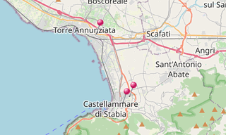
Roman Villas
134 Photos
Oplontis was a town near Pompeii, in the Roman Empire. On August 24 AD 79, the eruption of Mount Vesuvius buried it under large levels of ash.Oplontis, …
.hero.jpg?w=320)
Theatre of Marcellus
10 Photos
The Theatre of Marcellus is an ancient open-air theatre in Rome, built in the closing years of the Roman Republic. At the theatre, locals and visitors alike …
.hero.jpg?w=320)
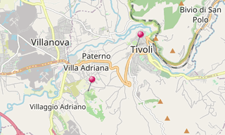
Tivoli
146 Photos
Tivoli, the classical Tibur, is an ancient town in Lazio, about 30 km from Rome, at the falls of the Aniene River, where it issues from the Sabine hills …
Related topics
-Street-art/Schlachthof-(Munich)-(278)-Street-Art.hero.jpg?w=320)
Themes
33,873 Photos
Sight visited and photos classified by themes.