.hero.jpg?w=1024)
Description
Iceland has extensive volcanic and geothermal activity. The rift associated with the Mid-Atlantic Ridge, which marks the division between the Eurasian Plate and North American tectonic plates, runs across Iceland from the southwest to the northeast.
This geographic feature is prominent at the Þingvellir National Park, where the promontory creates an extraordinary natural amphitheatre.
About half of Iceland’s land area, which is of recent volcanic origin, consists of a mountainous lava desert (highest elevation 2,110 m above sea level) and other wasteland. Around 10.2 % of the total land area is covered by glaciers, although these are now retreating at an accelerating rate. …
Show the remaining text
20 % of the land is used for grazing, while only 1 % is cultivated. Iceland has lost most of the woodland that previously covered large areas of the country.
Fossilized tree pollen and descriptions by the early settlers indicate that prior to human settlement, now thought to have occurred from around the year 800 onwards, trees covered between 30 and 40 % of the island.
The inhabited areas are on the coast, particularly in the southwest, while the central highlands are all but uninhabited.
Because of the Gulf Stream’s moderating influence, the climate is characterized by damp, cool summers and relatively mild but windy winters. Reykjavík has an average temperature of 12 °C in July and 1 °C in January.
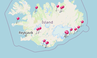
Map
★ Open the Google Maps link in a new window at the location: Icelandic Landscapes
Photo gallery
3 Photos
Photos 1 to 3
.jpg)
.jpg)
.jpg)
Related topics
.hero.jpg?w=320)
Iceland
191 Photos
Iceland is a Nordic island country of Europe located in the North Atlantic Ocean. It has a population of 332,529 and an area of 103,000 km², making it the …
-(121).hero.jpg?w=320)
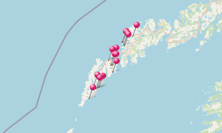
Norway
131 Photos
Lofoten is an archipelago in the county of Nordland, Norway. Lofoten is known for a distinctive scenery with dramatic mountains and peaks, open sea and …