.hero.jpg?w=1024)
Description
Mount Kirkjufell (463 m) is located in the west of Iceland, near the town of Grundarfjörður on the western shore of the fjord Grundarfjörður in the north of the Snæfellsnes peninsula.
The mountain stands out due to its wedge-shaped appearance and protrudes as a peninsula into the large fjord Breiðafjörður, separating the fjord Grundarfjörður from the lagoon Hálsvaðall.
Kirkjufell has very steep slopes in all directions and owes this form to the Ice Age glaciers, between which he stood out as Nunatak. So the glaciers could have drag him from all sides.
Map
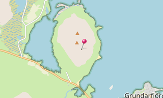
★ Open the Google Maps link in a new window at the location: Kirkjufell
Photo gallery
5 Photos
.jpg)
.jpg)
.jpg)
.jpg)
.jpg)
★ Don’t miss: The most beautiful photos of Iceland
Related topics
.hero.jpg?w=320)
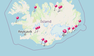
Iceland
191 Photos
Iceland is a Nordic island country of Europe located in the North Atlantic Ocean. It has a population of 332,529 and an area of 103,000 km², making it the …
-(121).hero.jpg?w=320)
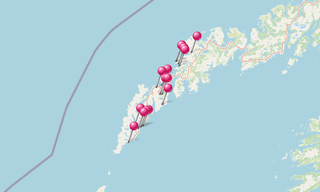
Norway
131 Photos
Lofoten is an archipelago in the county of Nordland, Norway. Lofoten is known for a distinctive scenery with dramatic mountains and peaks, open sea and …