.hero.jpg?w=1024)
Description
Skógafoss is a waterfall situated on the Skógá River in the south of Iceland at the cliffs of the former coastline. After the coastline had receded seaward (it is now at a distance of about 5 km from Skógar), the former sea cliffs remained, parallel to the coast over hundreds of kilometres, creating together with some mountains a clear border between the coastal lowlands and the Highlands of Iceland.
Skógafoss is one of the biggest waterfalls in the country with a width of 15 m and a drop of 60 m. Due to the amount of spray the waterfall consistently produces, a single or double rainbow is normally visible on sunny days. According to legend, the first Viking settler in the area, Þrasi Þórólfsson, buried a treasure in a cave behind the waterfall.
Map
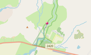
★ Open the Google Maps link in a new window at the location: Skógafoss
Photo gallery
5 Photos
Photos 1 to 5
.jpg)
.jpg)
.jpg)
.jpg)
.jpg)
★ Don’t miss: The most beautiful photos of Iceland
Related topics
.hero.jpg?w=320)
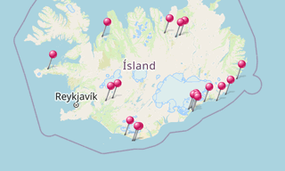
Iceland
191 Photos
Iceland is a Nordic island country of Europe located in the North Atlantic Ocean. It has a population of 332,529 and an area of 103,000 km², making it the …
-(121).hero.jpg?w=320)
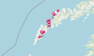
Norway
131 Photos
Lofoten is an archipelago in the county of Nordland, Norway. Lofoten is known for a distinctive scenery with dramatic mountains and peaks, open sea and …