-Zugspitze.hero.jpg?w=1024)
Description
With more than 70,500 km², the Free State of Bavaria is the largest of the 16 countries in Germany and is located in the south-east.
With more than 13 million inhabitants, it is the second most populous German state after North Rhine-Westphalia. In the south, the Free State has a share in the high mountains of the Eastern Alps and in the flat Alpine foothills that extend as far as the Danube.
North of the Danube, low mountain ranges such as the Bavarian Forest or the Fichtel Mountains determine the landscape.
The largest cities in Bavaria are first Munich, Nuremberg, Augsburg, Regensburg, Ingolstadt and Fürth according to inhabitants with the highest number. …
Show the remaining text
There are two centers of European metropolitan regions in Bavaria, the metropolis of Munich with an agglomeration of 2,211,800 and 5.71 million inhabitants in the metropolitan region, and the metropolis of Nuremberg with an agglomeration of 1,206,200 and 3.56 million inhabitants in the metropolitan region.
In addition, Bavaria has a metropolis of half a million with Augsburg with an agglomeration of 510,100 inhabitants. Other major cities are Würzburg and Erlangen.
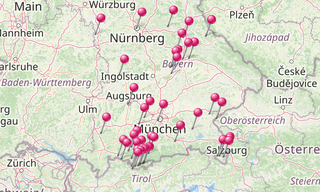
Map

List of sights
3,949 Photos
-Hundertwasser-Turm.hero.jpg?w=320)
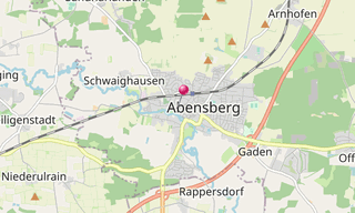
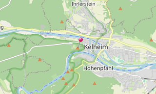
Abensberg
31 Photos
Abensberg is a town in the Lower Bavarian district of Kelheim, lying around 30 km south-west of Regensburg, 40 km east of Ingolstadt, 50 km north-west of …
-Stiftspfarrkirche-St-Philipp-und-Jakob.hero.jpg?w=320)
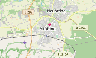
Altötting
84 Photos
Altötting is the county seat of the district of the same name in the administrative district of the Upper Bavaria and is located about 90 km east of Munich …
-Inning-am-Ammersee.hero.jpg?w=320)
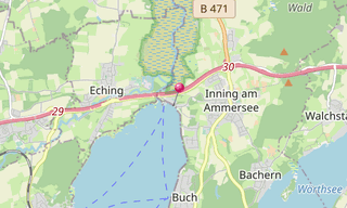
Ammersee
42 Photos
The Ammersee is after Chiemsee and Lake Starnberg the third largest lake in Bavaria (under the lakes, which lie exclusively in Bavaria) and reaching the …
.hero.jpg?w=320)
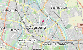
Augsburg
51 Photos
The Fuggerei is the world’s oldest social housing complex still in use. It is a walled enclave within the city of Augsburg, Bavaria. It takes it name from …
.hero.jpg?w=320)
Barmsee
3 Photos
The Barmsee is a maximum of 1.12 km long and a maximum of 0.49 km wide lake in the district of Garmisch-Partenkirchen (Upper Bavaria) in the territory of …
.hero.jpg?w=320)
Bavarian Landscapes
3 Photos
Bavaria lies in the southeast of Germany and is with approximately 70,500 km² the area’s largest German country. As a landlocked country, Bavaria borders …
.hero.jpg?w=320)
Befreiungshalle
46 Photos
The Befreiungshalle is a historical classical monument upon Mount Michelsberg above the city of Kelheim in Bavaria. It stands upstream of Regensburg on …
.hero.jpg?w=320)
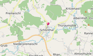
Brewery of Schönthal
23 Photos
The brewery building was the landmark of Schönthal.
.hero.jpg?w=320)
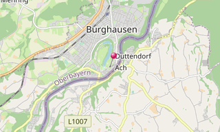
Burghausen
83 Photos
The old town of Burghausen is the largest city in the Upper Bavarian district of Altötting. It lies on the Salzach, which forms the border with Austria …
.hero.jpg?w=320)
Church village of Wamberg
12 Photos
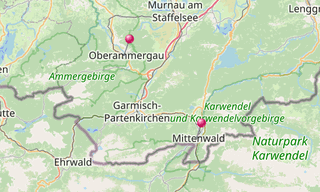
The church village of Wamberg is part of the municipality of Garmisch-Partenkirchen (Upper Bavaria) at 996 m. The place is on the north side of the Wamberg saddle …
-Zugspitze.hero.jpg?w=320)
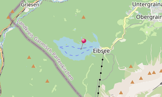
Eibsee
21 Photos
The Eibsee is a lake 9 km southwest of Garmisch-Partenkirchen below (3.5 km north) of the Zugspitze (2,962 m) in the Wetterstein mountains in Bavaria. In …
.hero.jpg?w=320)
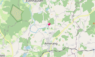
Farmhouse museum Amerang
50 Photos
The farmhouse museum Amerang is an open-air museum and is located in the Upper Bavarian foothills of the Amerang region in Chiemgau. It is affiliated to …
.hero.jpg?w=320)
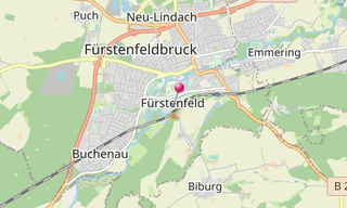
Fürstenfeld Abbey
143 Photos
The Fürstenfeld Monastery is a former Cistercian Abbey in Fürstenfeldbruck in Bavaria in the Archdiocese of Munich and Freising. It is located about 25 km …
/Geroldsee-(322).hero.jpg?w=320)
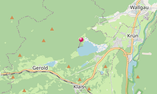
Geroldsee (Wagenbrüchsee)
27 Photos
The Geroldsee, also called Wagenbrüchsee, is a bog lake near Krün, a few kilometers from Garmisch-Partenkirchen. It has an area of 10.6 hectares, a maximum …
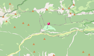
.map.png)
.hero.jpg?w=320)
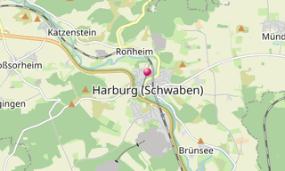
Harburg
41 Photos
Harburg (Swabia) is a town in the valley of the Wörnitz and lies on the Romantic Road between Nördlingen and Donauwörth. The word Harburg consists of two …
/Hintersee-(Ramsauer-Ache)-(127).hero.jpg?w=320)
Hintersee (Ramsauer Ache)
10 Photos
The Hintersee (formerly Ferchensee or Forchensee) is a 16.4 hectare lake in the municipality of Ramsau in the Berchtesgadener Land, about two kilometers …
.map.png)
-H%C3%B6llentalklamm.hero.jpg?w=320)
Höllental Gorge
40 Photos
The Höllental (Hell Valley) is a valley in the Zugspitze massif of the Wetterstein mountains, between Blassenkamm and Waxensteinkamm through which the stream …
.hero.jpg?w=320)
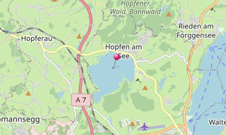
Hopfensee
2 Photos
The Hopfensee is a maximum 2.1 km long lake with a circumference of 6.8 km north of Füssen in the district of Ostallgäu, Bavarian Swabia, Bavaria. With …
.hero.jpg?w=320)
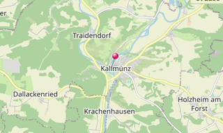
Kallmünz
14 Photos
Kallmünz is a town in the Upper Palatinate district of Regensburg in Bavaria. The town is located at the confluence of Naab and Vils, about 25 km north …
-Schlehdorf-am-Kochelsee.hero.jpg?w=320)
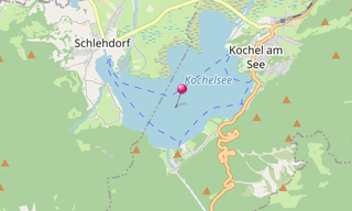
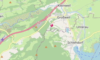
Kochelsee
15 Photos
The Kochelsee (Lake Kochel) is located 70 km south of Munich on the edge of the Bavarian Alps. It belongs to the communities Schlehdorf in the west and …
-Obersee.hero.jpg?w=320)
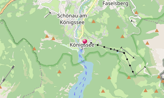
Königssee
48 Photos
The Königssee is a long mountain lake in Berchtesgaden in the southeast of Bavaria and part of the municipality of Schönau am Königssee. It lies at the …
.hero.jpg?w=320)
Linderhof
67 Photos
The Linderhof Palace (Schloss Linderhof) is the smallest of the three palaces built by King Ludwig II of Bavaria and the only one which he lived to see …
-Pilatushaus.hero.jpg?w=320)
Lüftlmalerei
194 Photos
Lüftlmalerei referred in particular in Upper Bavaria (Werdenfelser Land by Garmisch-Partenkirchen) and in Tirol to the native art form of facade painting. …
.hero.jpg?w=320)
Maria Gern
12 Photos
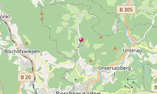
Maria Gern is located north of Berchtesgaden in the valley and on the slopes of the creek Gerner (also called Gererbach or Anzenbach), a tributary of the …
/Maxh%C3%BCtte-(Sulzbach-Rosenberg)-(057)-Konverterhalle.hero.jpg?w=320)
Maxhütte (Sulzbach-Rosenberg)
226 Photos
The Maxhütte, named after the Bavarian King Maximilian II Joseph, was a traditional steel mill and is today an industrial monument in Sulzbach-Rosenberg …
.map.png)
-2018.hero.jpg?w=320)
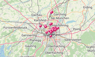
Munich
1,807 Photos
Munich (München) is the capital and the largest city of the German state of Bavaria. It is located on the Isar River north of the Bavarian Alps. Munich …
/Kloster-Rottenbuch-(085).hero.jpg?w=320)
Nativity of Mary (Rottenbuch)
28 Photos
The former Augustinian Canons Church and current Roman Catholic parish church Nativity of Mary is a listed church building in Rottenbuch, in the district …
.map.png)
.hero.jpg?w=320)
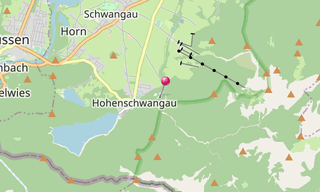
Neuschwanstein Castle
17 Photos
Neuschwanstein Castle stands above Hohenschwangau close to Füssen in southern Bavaria. The building was constructed in 1869 for the Bavarian King Ludwig II …
-Kaiserburg.hero.jpg?w=320)
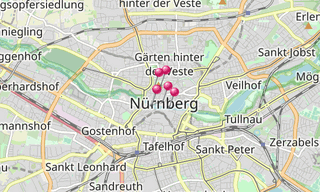
Nuremberg
74 Photos
Nuremberg (Nürnberg) is the administrative region of Middle Franconia. Situated on the Pegnitz River and the Rhine-Main-Danube Canal, it is located about …
.hero.jpg?w=320)
Open-air museum Glentleiten
110 Photos
The open-air museum Glentleiten is the museum of the district Upper Bavaria for the rural life, living and economics of past centuries. It is located above …
-Basilika-St-Alexander-und-Theodor.hero.jpg?w=320)
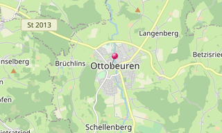
Ottobeuren Abbey
66 Photos
The monastery Ottobeuren is a Benedictine abbey in the Upper Swabian Ottobeuren. The monastery consecrated to the two saints Alexander of Rome and Theodore Tiro …
-Partnachklamm-in-Winter.hero.jpg?w=320)
Partnach Gorge
59 Photos
The Partnach Gorge (Partnachklamm) is a 702 m long and partly 80 m deep gorge incised in the limestone layers of the Wetterstein massif by the Partnach …
-Wallfahrtskirche.hero.jpg?w=320)
Pilgrimage church Wilparting
23 Photos
The pilgrimage church of St. Marinus and Anian (Wallfahrtskirche Wilparting) is the Catholic village church of Wilparting, a district of the municipality …
.hero.jpg?w=320)
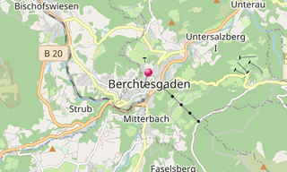
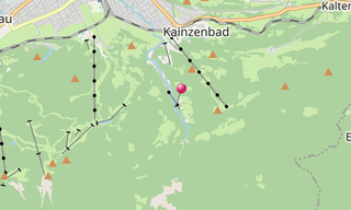
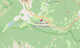
Ramsau
14 Photos
Ramsau is a municipality in the Bavarian Alps located in the district of Berchtesgadener Land, close to the border with Austria, 35 km south of Salzburg …
.hero.jpg?w=320)
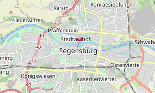
Regensburg
10 Photos
Regensburg historically also Ratisbon, from Celtic Ratisbona, is a city in Bavaria, located at the confluence of the Danube and Regen rivers, at one of …
-Pl%C3%B6nlein.hero.jpg?w=320)
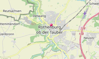
Rothenburg ob der Tauber
96 Photos
Rothenburg ob der Tauber is a town in the district of Ansbach, located in the Franconia region of Bavaria, well known for its well-preserved medieval old …
.hero.jpg?w=320)
Schuierer Mill
78 Photos
The mill belongs since 1874 to the Schuierer family. The Schuierer mill was enlarged significantly in 1884. Since 1982, the mill is stopped.
.hero.jpg?w=320)
Virgin Mary and St Michael Monastery
68 Photos
The Monastery consecrated to the Virgin Mary and St Michael belonged between 1250 and 1263 to the St William Hermits, and after 1263 to the Augustinian Hermits …
.hero.jpg?w=320)
Walhalla
102 Photos
The Walhalla is a hall of fame that honours laudable and distinguished people, famous personalities in German history - politicians, sovereigns, scientists …
.hero.jpg?w=320)
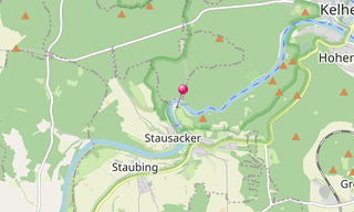
Weltenburg Abbey
29 Photos
The St. George Church of the the Benedictine Monastery of Weltenburg on the Danube breakthrough in Kelheim in Bavaria is one of the most important religious …
.hero.jpg?w=320)
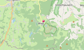
Wieskirche
46 Photos
The Wies Church (Wieskirche) is a magnificently decorated Sanctuary belonging to the district of Wies in the municipality Steingaden. The full name of the …
.hero.jpg?w=320)
Zugspitze
34 Photos
The Zugspitze with 2,962 m is the highest peak of the Wetterstein Mountains and at the same time Germany’s highest mountain. The Zugspitze massif is located …
Related topics
-2013.hero.jpg?w=320)
Germany
3,967 Photos
Germany (Deutschland), officially the Federal Republic of Germany (Bundesrepublik Deutschland), is a federal parliamentary republic in west-central Europe …