/Hintersee-(Ramsauer-Ache)-(127).hero.jpg?w=1024)
Description
The Hintersee (formerly Ferchensee or Forchensee) is a 16.4 hectare lake in the municipality of Ramsau in the Berchtesgadener Land, about two kilometers west of the center of Ramsau.
Named after him is the village Hintersee directly on its western shore with about 100 inhabitants. The Hintersee at the foot of the Reiteralpe and the Hochkalter (2,607 m) formed around 3,500 to 4,000 years ago, when a rock fall from the Blaueistal from the Hochkalter mountain, covering an area of 75 hectares, dammed the Klausbach stream rising on the Hirschbichl and at the same time created the Magic Forest.
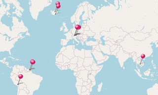
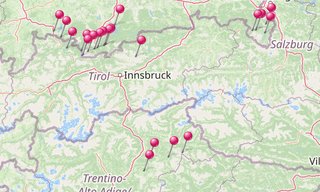
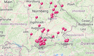
Map
.map.png)
★ Open the Google Maps link in a new window at the location: Hintersee (Ramsauer Ache)
Photo gallery
10 Photos
Photos 1 to 10
/Hintersee-(Ramsauer-Ache)-(029).jpg)
/Hintersee-(Ramsauer-Ache)-(142).jpg)
/Hintersee-(Ramsauer-Ache)-(084).jpg)
/Hintersee-(Ramsauer-Ache)-(164).jpg)
/Hintersee-(Ramsauer-Ache)-(038).jpg)
/Hintersee-(Ramsauer-Ache)-(078).jpg)
/Hintersee-(Ramsauer-Ache)-(136).jpg)
/Hintersee-(Ramsauer-Ache)-(127).jpg)
/Hintersee-(Ramsauer-Ache)-(179).jpg)
/Hintersee-(Ramsauer-Ache)-(176).jpg)
★ Don’t miss: The most beautiful photos of Germany
Related topics
/Geroldsee-(269).hero.jpg?w=320)
Alps
377 Photos
The Alps are the highest mountains in Europe. It stretches in a 1,200 km long and between 150 and 250 km wide arch from the Ligurian Sea to the Pannonian Basin …
-Zugspitze.hero.jpg?w=320)
Bavaria
3,949 Photos
With more than 70,500 km², the Free State of Bavaria is the largest of the 16 countries in Germany and is located in the south-east. With more than 13 million …
-Obersee.hero.jpg?w=320)
Lakes
592 Photos
Lakes around the world.