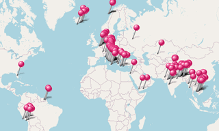
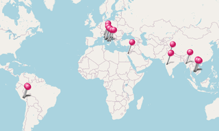
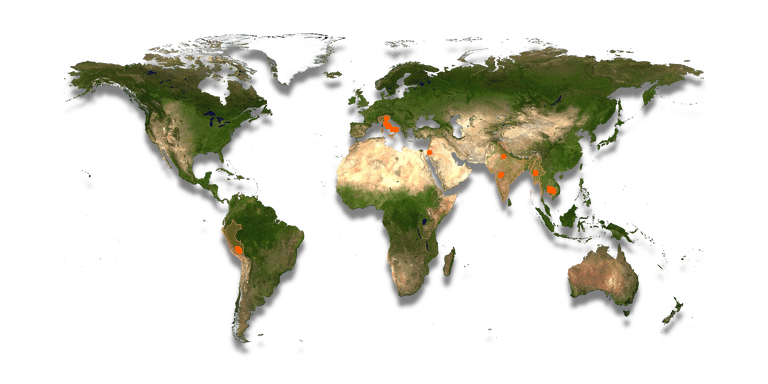
Siti archeologici in tutto il mondo.
.hero.landscape.jpg)
Siti archeologici in tutto il mondo. [maggiori dettagli nella descrizione]
-Cave-26.hero.jpg?w=320)
Le Grotte di Ajanta, nel Maharashtra, sono 31 monumenti rupestri scavati nella roccia che risalgono al II secolo a.C. Le grotte comprendono dipinti e sculture …
.hero.jpg?w=320)
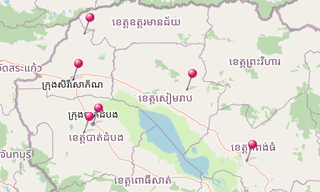
Altri luoghi in Cambogia:L’imponente tempio di Banteay Chhmar, insieme ai suoi santuari satellite e al serbatoio (baray), comprende uno dei complessi archeologici …
-Inca-Ruins.hero.jpg?w=320)
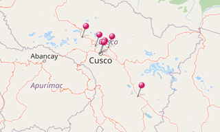
Gli Inca costruirono una via di accesso principale lungo la Valle dell’Urubamba, collegando il sito di Machu Picchu a ovest e Pisac a est.Chinchero era …
.hero.jpg?w=320)
L’Aula Ottagona fa parte delle Terme di Diocleziano ed era chiamata Sala di Minerva. Progettato probabilmente in origine per fornire un’area di attracco, …
-Pagan.hero.jpg?w=320)
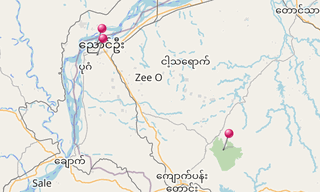
Bagan (precedentemente Pagan) è un’antica città situata nella regione di Mandalay in Myanmar. Dal IX al XIII secolo, la città fu capitale del Regno Pagano …
.hero.jpg?w=320)
La Moschea Begumpur (Begumpur Masjid o Begumpuri Masjid) è una moschea con cortile costruita sotto la dinastia Tughluq nel 14 secolo nel distretto di Jahanpanah …
.hero.jpg?w=320)
La Necropoli della Banditaccia di Cerveteri, dichiarata dall’UNESCO Patrimonio dell’Umanità insieme alla necropoli di Tarquinia, copre un’area di 400 ha …
-Cave-16-(Kailasa-Temple).hero.jpg?w=320)
Ellora è un sito archeologico, a 30 km dalla città di Aurangabad, nello stato indiano del Maharashtra, costruito dai sovrani Rashtrakuta. Famosa per le …
.hero.jpg?w=320)
Ercolano (Ercolano) è un’antica città romana, situata in provincia di Napoli che è stata distrutta, insieme a Pompei, nell’eruzione del Vesuvio a partire …
.hero.jpg?w=320)
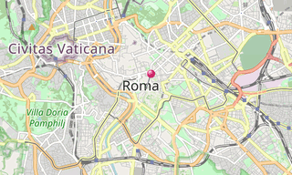
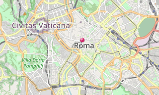
Il Foro Romano (Foro Romano, Foro Romano) è un foro rettangolare (piazza) circondato dalle rovine di diversi importanti edifici governativi antichi al centro …
.hero.jpg?w=320)
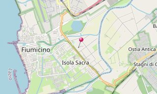
La Necropoli dell’Isola Sacra fu il primo cimitero pagano di epoca imperiale romana ad essere scavato su larga scala. Il capo scavatore della maggior parte …
.hero.jpg?w=320)
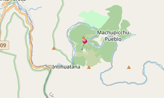
Machu Picchu è un sito Inca precolombiano situato a 2.430 m sul livello del mare e situato su un crinale montuoso sopra la Valle dell’Urubamba in Perù, …
.hero.jpg?w=320)
Metaponto è un piccolo comune di circa 1.000 abitanti della provincia di Matera, Basilicata. Metaponto era una città greca fondata da una colonia achea …
.hero.jpg?w=320)
Norchia è un’antica città etrusca con annessa necropoli che raggiunse il suo culmine tra il IV e il II secolo a.C. Le tombe sono generalmente costruite …
.hero.jpg?w=320)
Principale porto dell’antica Roma, Ostia (Ostia Antica) fu un attivo centro commerciale per oltre 6 secoli fino al V secolo.La via principale, il Decumanus Maximus …

.hero.jpg?w=320)
Paestum, situata a ridosso della costa tirrenica sulla strada che collegava Agropoli a Battipaglia, fu fondata intorno alla fine del VII secolo a.C. da …
.hero.jpg?w=320)
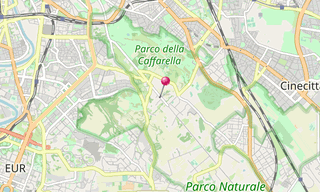
Il Parco degli Acquedotti è un parco pubblico di Roma, che prende il nome dagli acquedotti, attraversati dall’Aqua Felice e contenenti parte dell’Aqua Claudia …
-Al-Deir.hero.jpg?w=320)
Petra, originariamente conosciuta dai Nabatei come Raqmu, è una città storica e archeologica nel sud della Giordania. La città è famosa per la sua architettura …
.hero.jpg?w=320)
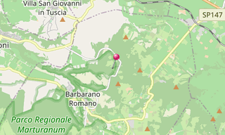
San Giuliano è un centro etrusco 2 km a nord-est di Barbarano Romano. Le tombe più importanti rinvenute nella necropoli di Cuccumella del Caiolo sono il …
.hero.jpg?w=320)
Siem Reap è la capitale della provincia di Siem Reap nel nord-ovest della Cambogia. Angkor era la capitale dell’Impero Khmer, che fiorì approssimativamente …
.hero.jpg?w=320)
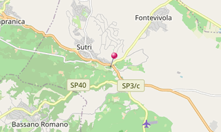
Sutri (antica Sutrium) occupava una posizione importante sulla strada per l’Etruria, la successiva via Cassia. Passò nelle mani di Roma dopo la caduta di …
.hero.jpg?w=320)
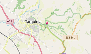
Tarquinia era il capo delle dodici città dell’Etruria e appare nella prima storia di Roma come la dimora di due dei suoi re, Tarquinio Prisco e Tarquinio il Superbo …
.hero.jpg?w=320)
Il Teatro di Marcello è un antico teatro all’aperto di Roma, costruito negli ultimi anni della Repubblica Romana. Al teatro, sia la gente del posto che …
.hero.jpg?w=320)
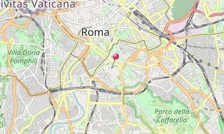
Le Terme di Caracalla a Roma, erano terme pubbliche romane, o terme, costruite a Roma tra il 212 e il 216 d.C., durante il regno dell’imperatore Caracalla …
-Basilica-di-San-Zeno.hero.jpg?w=320)
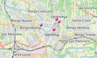
Verona è una città del Veneto, nel nord Italia. La città è stata insignita dello status di Patrimonio dell’Umanità dall’UNESCO per la sua struttura urbana …
.hero.jpg?w=320)
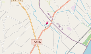
La Via Appia fu una delle prime e strategicamente più importanti strade romane dell’antica repubblica. Collegava Roma a Brindisi, in Puglia, nel sud-est …
.hero.jpg?w=320)
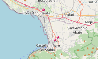
Oplontis era una cittadina nei pressi di Pompei, nell’Impero Romano. Il 24 agosto del 79 d.C., l’eruzione del Vesuvio lo seppellì sotto grandi livelli di …
.hero.jpg?w=320)
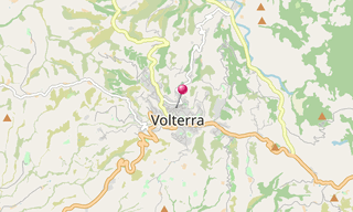
Volterra, nota agli antichi Etruschi come Velathri, ai Romani come Volaterrae, è un comune italiano della Toscana.
Siti archeologici in tutto il mondo.
-Street-art/Schlachthof-(Munich)-(278)-Street-Art.hero.jpg?w=320)
Attrazione visitata e foto classificate per temi.