-Festival-of-Paro.hero.landscape.jpg)
.hero.jpg?w=320)
.hero.jpg?w=320)
-Festival-of-Paro.hero.jpg?w=320)
The Kingdom of Bhutan (which used to be one of the most isolated nations in the world) is located at the eastern end of the Himalaya Mountains between India and China. The Bhutanese call their country Druk Yul. The landscape ranges from subtropical plains in the south to the Himalayan heights in the north, with some peaks exceeding 7,000 m like the Chomolhari. The population is predominantly Buddhist.
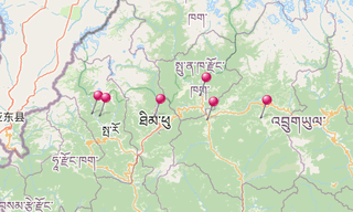
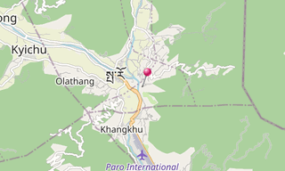
Main sights
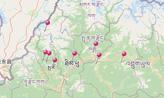
Drukgyal Dzong, Gangtey, Jitchu Dracke, Kichu, Paro, Punakha, Taktshang, Thimphu: the capital, Wangdi Phodrang Dzong
.hero.jpg?w=320)
.hero.jpg?w=320)
-Tengboche-(3860m).hero.jpg?w=320)
.hero.jpg?w=320)
.map.png)