Raoul KiefferPhotography
Khumbu (20) Tengboche (3,860 m)
Photo: Khumbu, Tengboche (3,860 m)

Himalayas
2,274 Photos

Description

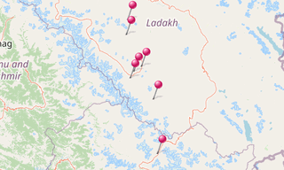
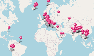
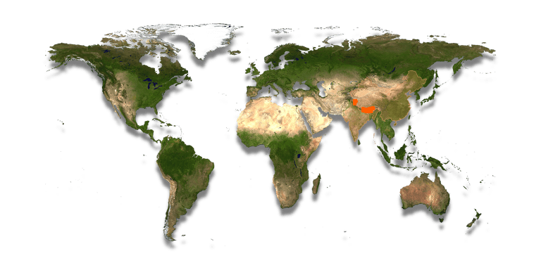
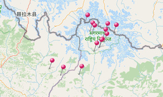
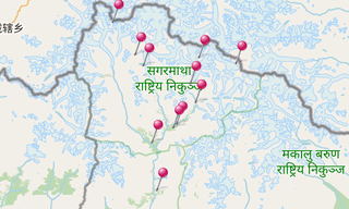
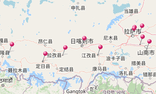
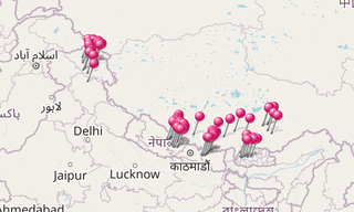
The Himalayas are a high mountain system in Asia between the Indian subcontinent in the south and the Tibetan highlands in the north. …

See more …

The mountain range stretches for some 3,000 km from Pakistan to Myanmar (Burma) and reaches a maximum width of 350 km. The Himalayas are home to ten of the fourteen mountains on Earth whose peaks are more than 8,000 m high (“eight-thousanders”), including Mount Everest, the highest mountain in the world at 8,848 m.

The mountain ranges from Central Asia, the Khyber Pass on the border of Afghanistan and Pakistan and the Karakorum in Kashmir, along the border of India and the two Himalayan States Nepal and Bhutan with Tibet, to the south-collapsed Patkai Mountains between Assam and Myanmar and the Hengduan Mountains, the southern flank of the eastern slope of the Tibetan Highlands. It separates South Asia from the rest of the continent.

Map: Himalayas

List of sights
2,274 Photos

Annapurna circuit (288) Ghandruk
Photo: Annapurna circuit, Ghandruk

Annapurna
262 Photos

Annapurna is a section of the Himalayas in north-central Nepal that includes 8,091 m Annapurna I, thirteen additional peaks over 7,000 m and 16 …

Map: Annapurna
Paro (44) Festival of Paro
Photo: Paro, Festival of Paro

Bhutan
254 Photos

The Kingdom of Bhutan (འབྲུག་ཡུལ) (which used to be one of the most isolated nations in the world) is located at the eastern end of the Himalaya

Map: BhutanList of sights: Chomolhari, Other Monasteries in Bhutan, Paro
Khumbu (66) Everest (8,848 m) - Nuptse (7,861 m)
Photo: Khumbu, Everest (8,848 m) - Nuptse (7,861 m)

Khumbu 1991
111 Photos

Khumbu, the Everest Region, is one of three subregions of the main Sherpa settlement of the Himalaya with elevation ranging from 3,300 m to the …

Map: Khumbu 1991
Khumbu (315) Changtse (7,543 m)
Photo: Khumbu, Changtse (7,543 m)

Khumbu 1997
168 Photos

(Khumbu 1991) … Khumbu (also known as the Everest Region) is a region of northeastern Nepal on the Nepalese side of Mount Everest. It is part of …

Map: Khumbu 1997
Leh (385)
Photo: Leh

Ladakh
871 Photos

Ladakh stretches between the mountain ranges of the Himalayas (with the Stok Kangri as the most famous mountain) and the Karakorum and the upper …

Map: LadakhList of sights: Alchi, Chemrey, Hemis, Lamayuru, Leh, Matho, Phyang, Rizong, Saspol, Spituk, Stakna, Stok, Takthok, Thiksey
Mustang (224) Tangya
Photo: Mustang, Tangya

Mustang
219 Photos

Mustang (from the Tibetan möntangfertile plain”), formerly Kingdom of Lo, is a remote and isolated region of the Nepalese Himalayas. The Upper

Map: Mustang
Tibet (117) Lhasa - Jokhang
Photo: Tibet, Lhasa - Jokhang

Tibet
205 Photos

Tibet (བོད), the Roof of the World with an average altitude of 4,900 m, is the highest region on Earth. Songtsen Gampo unified Tibet first in the …

Map: TibetList of sights: Gyantse, Lhasa, Other Monasteries in Tibet, Shigatse, Tibetan Landscapes
Zanskar (153)
Photo: Zanskar

Zanskar
184 Photos

Zanskar covers an area of about 7,000 km², at an altitude between 3,500 and 7,000 m. It consists of the country lying along the two main branches …

Map: Zanskar