-Hoofdtoren.hero.landscape.jpg)

-Harbour.jpg)
-Harbour.jpg)
-Harbour.jpg)
-Harbour.jpg)
-Harbour.jpg)
-Harbour.jpg)
-Harbour.jpg)
-Harbour.jpg)
-Hoofdtoren.jpg)
-Harbour.jpg)
-Harbour.jpg)
-Harbour.jpg)
-Harbour.jpg)
-Harbour.jpg)
-Harbour.jpg)
-Harbour.jpg)
-Harbour.jpg)
-Harbour.jpg)
-Harbour.jpg)
-Harbour.jpg)
-Harbour.jpg)
-Harbour.jpg)
-Hoofdtoren.jpg)
-Harbour.jpg)
-Harbour.jpg)
-Harbour.jpg)
-Harbour.jpg)
-Harbour.jpg)
-Harbour.jpg)
-Harbour.jpg)
-Harbour.jpg)
-Hoofdtoren.jpg)
-Harbour.jpg)
-Harbour.jpg)
-Harbour.jpg)
-Harbour.jpg)
-Harbour.jpg)
-Harbour.jpg)
-Harbour.jpg)
-Harbour.jpg)
-Harbour.jpg)
-Harbour.jpg)
-Harbour.jpg)
-Harbour.jpg)
-Harbour.jpg)
-Harbour.jpg)
-Harbour.jpg)
-Hoofdtoren.jpg)
-Hoofdtoren.jpg)
-Harbour.jpg)
-Harbour.jpg)
-Hoofdtoren.jpg)
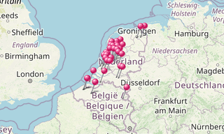
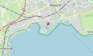
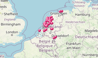
Hoorn, in the province of North Holland, is located on the IJsselmeer, 35 km north of Amsterdam, and acquired city rights in 1357.
Hoorn is well known in the Netherlands for its rich history. The town acquired city rights in 1357 and flourished during the Dutch Golden Age. In this period, Hoorn developed into a prosperous port city, being home to one of the six chambers of the Dutch East India Company (VOC).
Towards the end of the eighteenth century, however, it started to become increasingly more difficult for Hoorn to keep competing with nearby Amsterdam. Ultimately, it lost its function as port city and became a regional center of trade, mainly serving the smaller villages of West Friesland.
Nowadays, Hoorn is a city with modern residential areas and a historic city center that, due to its proximity to Amsterdam, is sometimes considered to be part of the Randstad metropolitan area. Cape Horn and the Hoorn Islands were both named after this city.
.hero.jpg?w=320)
.hero.jpg?w=320)