/East-Fjords-(004).hero.landscape.jpg)
.location.map.png)
/East-Fjords-(001).jpg)
/East-Fjords-(008).jpg)
/East-Fjords-(004).jpg)
/East-Fjords-(006).jpg)
/East-Fjords-(013).jpg)
/East-Fjords-(012).jpg)
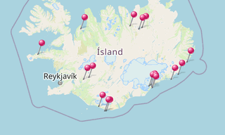
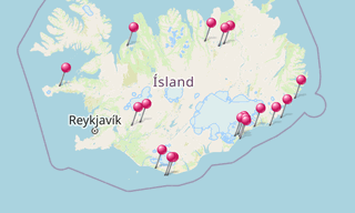
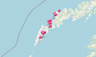
Eastern Region (Austurland, also known as Austfirðir: “East Fjords”) is a region in eastern Iceland. Its area is 22,721 km² and in 2007 its population was 15,300. The largest town in the region is Egilsstaðir, with a population of 2,300. The oldest municipality is Djúpivogur, which got their trading licence in 1589, had a population of 470 in 2015.
.map.png)
-(295).hero.jpg?w=320)
.hero.jpg?w=320)
-(121).hero.jpg?w=320)
.hero.jpg?w=320)