-Fira.hero.landscape.jpg)
.hero.jpg?w=320)
-Tholos-at-Sanctuary-of-Athena-Pronaia.hero.jpg?w=320)
.hero.jpg?w=320)
.hero.jpg?w=320)
-Chora.hero.jpg?w=320)
.hero.jpg?w=320)
.hero.jpg?w=320)
-Chora.hero.jpg?w=320)
-Parikia.hero.jpg?w=320)
-Chora.hero.jpg?w=320)
-Mandraki-Harbour.hero.jpg?w=320)
-Oia.hero.jpg?w=320)
-Kali-Strata.hero.jpg?w=320)
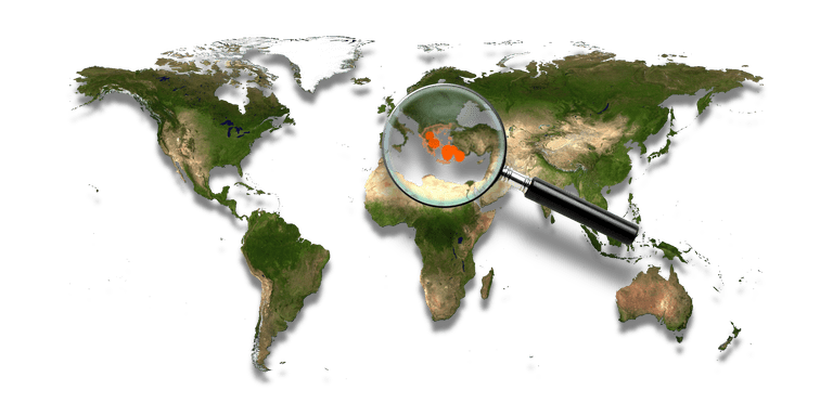
Greece, officially the Hellenic Republic and known since ancient times as Hellas, is a country in Southeast Europe. Greece is strategically located at the crossroads of Europe, Western Asia, and Africa, and shares land borders with Albania to the north-west, the Republic of Macedonia and Bulgaria to the north and Turkey to the north-east. The country consists of nine geographic regions: Macedonia, Central Greece, the Peloponnese, Thessaly, Epirus, the Aegean Islands (including the Dodecanese and Cyclades), Thrace, Crete, and the Ionian Islands.
.hero.jpg?w=320)
-Oia.hero.jpg?w=320)

-Naoussa.hero.jpg?w=320)
