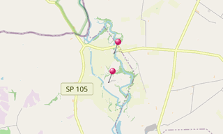
Vulci is an Etruscan city which began to expand in the 8th century BC and was surrounded by a 6.5 km wall.
The Ponte dell’Abbadia is a 30 m high bridge over the Fiora River completed in 90 BC and leading to the Castello dell’Abbadia a former Cistercain Monastery.

.hero.landscape.jpg?w=1600)

.jpg?w=256)
.jpg?w=256)
.jpg?w=256)
.jpg?w=256)
.jpg?w=256)
.jpg?w=256)
.jpg?w=256)
.jpg?w=256)
.jpg?w=256)
.jpg?w=256)
.jpg?w=256)
.jpg?w=256)
.jpg?w=256)
.jpg?w=256)
.jpg?w=256)
.jpg?w=256)
.jpg?w=256)
.jpg?w=256)
.jpg?w=256)
.jpg?w=256)
.jpg?w=256)
.jpg?w=256)
.jpg?w=256)
.jpg?w=256)
.jpg?w=256)
.jpg?w=256)
.jpg?w=256)
.jpg?w=256)
.jpg?w=256)
.jpg?w=256)
.jpg?w=256)
.jpg?w=256)
.jpg?w=256)
.jpg?w=256)
.jpg?w=256)
.jpg?w=256)
.jpg?w=256)
.jpg?w=256)
.jpg?w=256)
.jpg?w=256)
.jpg?w=256)
.hero.jpg?w=320)
