.hero.landscape.jpg)

.jpg)
.jpg)
.jpg)
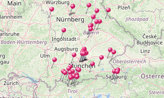
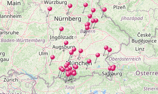
Bavaria lies in the southeast of Germany and is with approximately 70,500 km² the area’s largest German country. As a landlocked country, Bavaria borders to the south and southeast Austria, in the eastern part the Czech Republic, in the southwest Switzerland with the Lake Constance, in the west part Baden-Württemberg, in the northwest Hessen, in the north Thuringia and in the northeast Saxony.
The largest city in Bavaria is Munich the state capital, followed by Nuremberg and Augsburg. The Free State has in the south a part the Alps. North of the Danube, low mountains, such as the Fichtel or Franconian mountains, and the Swabian Alb determine the landscape.
-Zugspitze.hero.jpg?w=320)
.hero.jpg?w=320)