-Zugspitze.hero.landscape.jpg)
-Hundertwasser-Turm.hero.jpg?w=320)
-Stiftspfarrkirche-St-Philipp-und-Jakob.hero.jpg?w=320)
-Inning-am-Ammersee.hero.jpg?w=320)
.hero.jpg?w=320)
.hero.jpg?w=320)
.hero.jpg?w=320)
.hero.jpg?w=320)
.hero.jpg?w=320)
.hero.jpg?w=320)
.hero.jpg?w=320)
-Zugspitze.hero.jpg?w=320)
.hero.jpg?w=320)
.hero.jpg?w=320)
/Geroldsee-(322).hero.jpg?w=320)
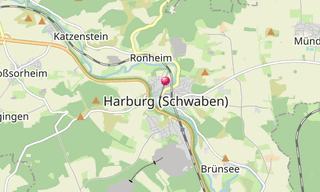
.map.png)
.hero.jpg?w=320)
/Hintersee-(Ramsauer-Ache)-(127).hero.jpg?w=320)
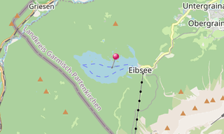
.map.png)
-H%C3%B6llentalklamm.hero.jpg?w=320)
.hero.jpg?w=320)
.hero.jpg?w=320)
-Schlehdorf-am-Kochelsee.hero.jpg?w=320)
-Obersee.hero.jpg?w=320)
.hero.jpg?w=320)
-Pilatushaus.hero.jpg?w=320)
.hero.jpg?w=320)
/Maxh%C3%BCtte-(Sulzbach-Rosenberg)-(057)-Konverterhalle.hero.jpg?w=320)
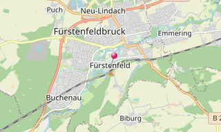
.map.png)
-2018.hero.jpg?w=320)
/Kloster-Rottenbuch-(085).hero.jpg?w=320)
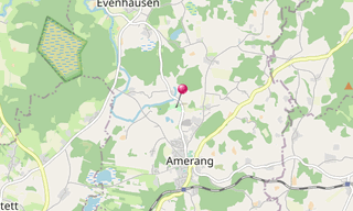
.map.png)
.hero.jpg?w=320)
-Kaiserburg.hero.jpg?w=320)
.hero.jpg?w=320)
-Basilika-St-Alexander-und-Theodor.hero.jpg?w=320)
-Partnachklamm-in-Winter.hero.jpg?w=320)
-Wallfahrtskirche.hero.jpg?w=320)
.hero.jpg?w=320)
.hero.jpg?w=320)
-Pl%C3%B6nlein.hero.jpg?w=320)
.hero.jpg?w=320)
.hero.jpg?w=320)
.hero.jpg?w=320)
.hero.jpg?w=320)
.hero.jpg?w=320)
.hero.jpg?w=320)
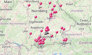
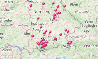
With more than 70,500 km², the Free State of Bavaria is the largest of the 16 countries in Germany and is located in the south-east. With more than 13 million inhabitants, it is the second most populous German state after North Rhine-Westphalia. In the south, the Free State has a share in the high mountains of the Eastern Alps and in the flat Alpine foothills that extend as far as the Danube. North of the Danube, low mountain ranges such as the Bavarian Forest or the Fichtel Mountains determine the landscape.
The largest cities in Bavaria are first Munich, Nuremberg, Augsburg, Regensburg, Ingolstadt and Fürth according to inhabitants with the highest number. There are two centers of European metropolitan regions in Bavaria, the metropolis of Munich with an agglomeration of 2,211,800 and 5.71 million inhabitants in the metropolitan region, and the metropolis of Nuremberg with an agglomeration of 1,206,200 and 3.56 million inhabitants in the metropolitan region. In addition, Bavaria has a metropolis of half a million with Augsburg with an agglomeration of 510,100 inhabitants. Other major cities are Würzburg and Erlangen.

-2013.hero.jpg?w=320)
.hero.jpg?w=320)