.hero.landscape.jpg)

.jpg)
.jpg)
.jpg)
.jpg)
.jpg)
.jpg)
.jpg)
.jpg)
.jpg)
.jpg)
.jpg)
.jpg)
.jpg)
.jpg)
.jpg)
.jpg)
.jpg)
.jpg)
.jpg)
.jpg)
.jpg)
.jpg)
.jpg)
.jpg)
.jpg)
.jpg)
.jpg)
.jpg)
.jpg)
.jpg)
.jpg)
.jpg)
.jpg)
.jpg)
.jpg)
.jpg)
.jpg)
.jpg)
.jpg)
.jpg)
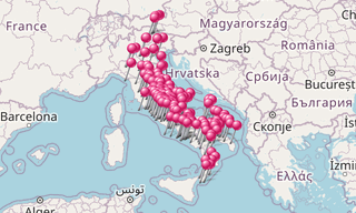
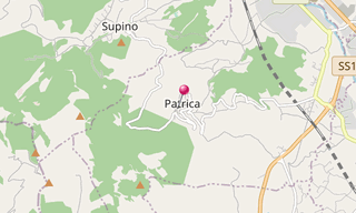
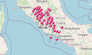
Patrica is a village in the Italian region Lazio, located about 70 km south-east of Rome and about 10 km south-west of Frosinone. It is part of Ciociaria, not far from the Monti Lepini.
In the Middle Ages and in the modern era, Patrica was part of the Papal State, sharing the historical events of Rome, thus becoming part of the Kingdom of Italy in 1870.
.hero.jpg?w=320)
.hero.jpg?w=320)
.hero.jpg?w=320)