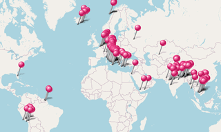
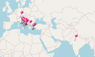
The most beautiful hilltop villages and mountainside villages around the world.
.hero.landscape.jpg)
The most beautiful hilltop villages and mountainside villages around the world. [more details under description]

-Santa-Maria-della-Consolazione.hero.jpg?w=320)
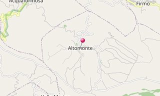
Altomonte is a municipality in the province of Cosenza, in the region of Calabria. The city was first called Braal, then Bragalla, Bragallum, Antifluvius …
.hero.jpg?w=320)
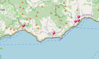
The Amalfi Coast (Costiera Amalfitana), on the south of Naples, extends from Positano in the west to Vietri sul Mare in the east.The towns lying on the …
.hero.jpg?w=320)
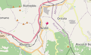
Arsoli, in the province of Rome, dates back to the 11th century and has nice narrow ancient streets, a medieval centre still preserved, as well as a castle, …
.hero.jpg?w=320)
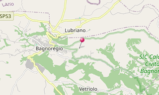
Bagnoregio is located about 90 km north-west of Rome and about 28 km north of Viterbo. Anciently it was called Novempagi and Balneum Regium, whence the …
.hero.jpg?w=320)
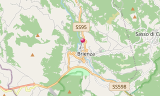
Brienza, is a town in the southern Italian region of Basilicata.
-Taragarh-Fort.hero.jpg?w=320)
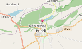
Bundi, is a city in the Hadoti region of Rajasthan state in north-west India. It is of particular architectural note for its ornate forts, palaces, and …
.hero.jpg?w=320)
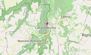
Calcata, in the Province of Viterbo, is located 50 km north of Rome over the valley of the Treja River. In the 1930s, the fortified centre was condemned …
.hero.jpg?w=320)
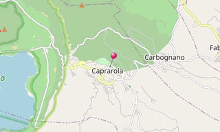
The Palazzo Farnese located in the medieval village of Caprarola was designed by Vignola and built between 1559 and 1575. It takes its pentagonal shape …
.hero.jpg?w=320)
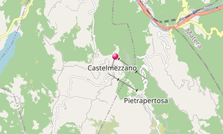
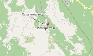
Castelmezzano origins’ are dated to the 7th century BC. In the 19th century, it was an ideal refuge for many bandits due to its own territorial placement …
.hero.jpg?w=320)
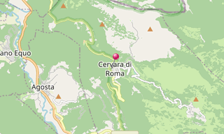
Cervara di Roma, located about 50 km east of Rome, was founded by Benedictine Monks in the 8th or 9th century. The historic centre of Cervara, this small …
.hero.jpg?w=320)
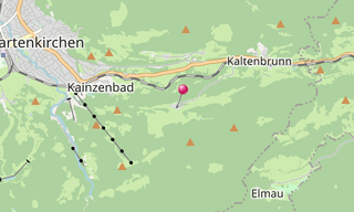
The church village of Wamberg is part of the municipality of Garmisch-Partenkirchen (Upper Bavaria) at 996 m. The place is on the north side of the Wamberg saddle …
.hero.jpg?w=320)
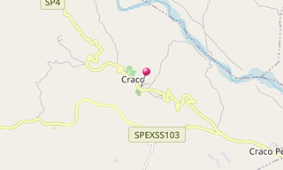
Craco, an abandoned Italian village located in the region of Basilicata and the province of Matera, was called the area “Grachium” which means “from the …
.hero.jpg?w=320)
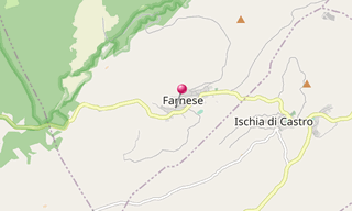
Farnese in the Province of Viterbo is located about 100 km north-west of Rome and about 35 km north-west of Viterbo and is the origin of the influential …
.hero.jpg?w=320)
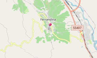
Ferrandina is a town in the province of Matera, in the Southern Italian region of Basilicata, famous for producing the highest level of quality Olive Oil …
-Chora.hero.jpg?w=320)
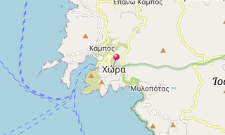
Ios (Ίος) is a hilly island with cliffs down to the sea on most sides, situated halfway between Naxos and Santorini. The Port of Ios (Gialos) is at the …
.hero.jpg?w=320)
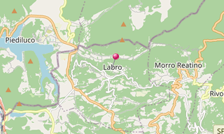
Labro, a municipality in the Italian region Latium, is located about 70 km north-east of Rome and about 15 km north-west of Rieti.
.hero.jpg?w=320)
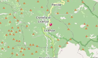
Licenza is a village located about 40 km north-east of Rome.Spring of Bandusia, Orsini castle, Villa of Horace
.hero.jpg?w=320)
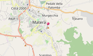
Matera, a town in the region of Basilicata, is perched on the edge of a small canyon eroded by the Gravina. The lower Sassi (caves) district is divided …
.hero.jpg?w=320)
The Metéora (Μετέωρα), lit. “middle of the sky”, “suspended in the air” or “in the heavens above”, is one of the largest and most important complexes of …
.hero.jpg?w=320)
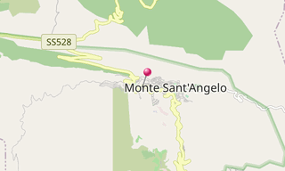
Monte Sant’Angelo is a town in Puglia, about 15 km north of Manfredonia, on the southern slopes of Monte Gargano. Between 1081 and 1103, Monte Sant’Angelo …
.hero.jpg?w=320)
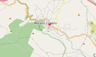
Morano Calabro is a town in the province of Cosenza in the Calabria region of southern Italy. It inspired one of Escher’s obsessive, dreamlike architectural …
.hero.jpg?w=320)
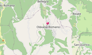
Olevano Romano is a municipality located about 45 km east of Rome. It is the birthplace of the composer Giovanni Gentile.
.hero.jpg?w=320)
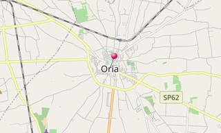
Oria, a town in the Apulia region, was founded by the Messapians sometime after the abortive siege of the Sicanian city Camicus. Between 217 and 84 BC the …
.hero.jpg?w=320)
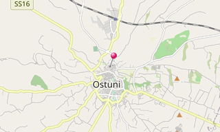
Ostuni, with its citadel build on the top of a hill, is still fortified with the ancient walls. It is reputed as an architectural jewel, and is commonly …
-Chora.hero.jpg?w=320)
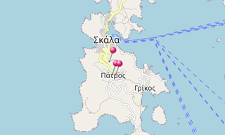
Patmos (Πάτμος) is a small Greek island in the Aegean Sea, one of the northernmost islands of the Dodecanese complex. The highest point is Profitis Ilias …
.hero.jpg?w=320)
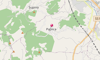
Patrica is a village in the Italian region Lazio, located about 70 km south-east of Rome and about 10 km south-west of Frosinone. It is part of Ciociaria …
.hero.jpg?w=320)
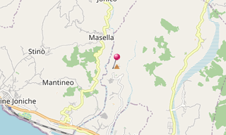
Pentidattilo is an abandoned village in the Italian Calabria region.
.hero.jpg?w=320)
Pietrapertosa is a town in the province of Potenza, in the Southern Italian region of Basilicata. Pietrapertosa is inside the Park of Gallipoli Cognato …
.hero.jpg?w=320)
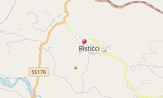
Pisticci is a town in the province of Matera known for its Rioni.
.hero.jpg?w=320)
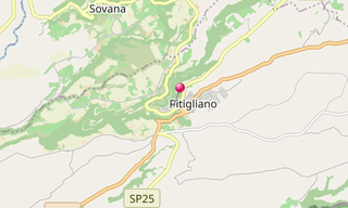
Pitigliano is a town located about 80 km south-east of Grosseto. The quaint old town is known as the little Jerusalem, for the historical presence of a …
.hero.jpg?w=320)
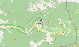
Polino, a village in the Italian region Umbria, is located about 70 km south-east of Perugia and about 15 km east of Terni.
.hero.jpg?w=320)
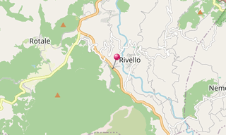
Rivello is a town in the province of Potenza, in the Southern Italian region of Basilicata.
.hero.jpg?w=320)
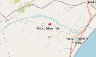
Rocca Imperiale is a village situated on a rise about 200 m above sea level in the province of Cosenza in the Calabria region of southern Italy. It is dominated …
.hero.jpg?w=320)
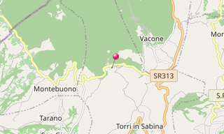
Rocchette is a village located in the heart of Sabina in the Lazio. A few kilometres from the border with Umbria, the twin strongholds of Rocchette and …
.hero.jpg?w=320)
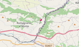
Romagnano al Monte is a village at the borders of Campania with Basilicata. It was destroyed in the Irpinia earthquake of 1980 and rebuilt a few kilometres …
.hero.jpg?w=320)
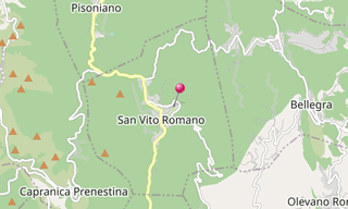
San Vito Romano, a municipality in the Italian region Latium, is located about 40 km east of Rome.
.hero.jpg?w=320)
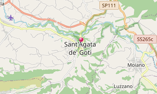
Sant’Agata dei Goti in the Province of Benevento in the Italian region Campania, is located about 35 km north-east of Naples near the Monte Taburno. The …
-Oia.hero.jpg?w=320)
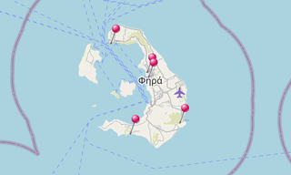
Santorini (Σαντορίνη), classically Thera, and officially Thira, is the largest island of a small, circular archipelago which bears the same name and is …
.hero.jpg?w=320)
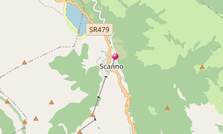
Scanno is a town with alleys and narrow streets in the province of L’Aquila, in the Abruzzo region of central Italy.
.hero.jpg?w=320)
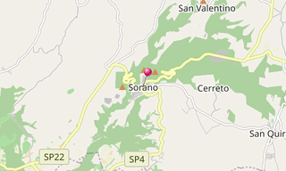
Sorano is a town in the province of Grosseto, southern Tuscany. It has an ancient medieval hill town hanging from a tuff stone over the Lente River. Sorano …
.hero.jpg?w=320)
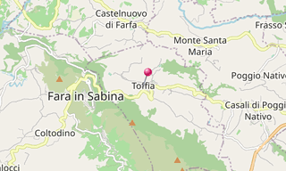
Toffia is a village in the Province of Rieti in the Italian region Lazio, located about 40 km north-east of Rome and about 25 km south-west of Rieti.
.hero.jpg?w=320)
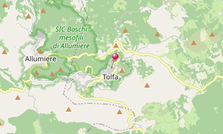
Tolfa is a town of the Province of Rome. It is the main centre in the Tolfa Mountains, an extinct volcanic group between Civitavecchia and the Lake of Bracciano …
.hero.jpg?w=320)
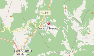
Vallo di Nera is a village in the region Umbria, located about 60 km south-east of Perugia.
.hero.jpg?w=320)
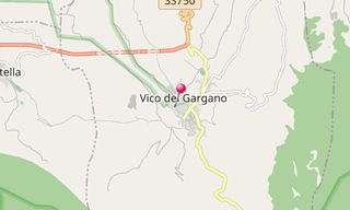
Vico del Gargano is a village in the region Puglia and is part of the Parco Nazionale del Gargano. Vico del Gargano is also famous for the number of churches …
.hero.jpg?w=320)
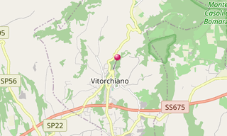
Vitorchiano is a village in the Latium, located about 70 km north-west of Rome and about 7 km north-east of Viterbo.
The most beautiful hilltop villages and mountainside villages around the world.
-Street-art/Schlachthof-(Munich)-(278)-Street-Art.hero.jpg?w=320)
Sight visited and photos classified by themes.