.hero.landscape.jpg)

.jpg)
.jpg)
.jpg)
.jpg)
.jpg)
.jpg)
.jpg)
.jpg)
.jpg)
.jpg)
.jpg)
.jpg)
.jpg)
.jpg)
.jpg)
.jpg)
.jpg)
.jpg)
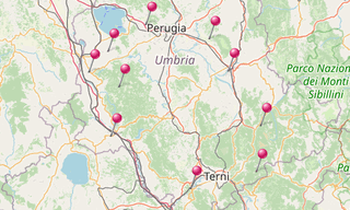
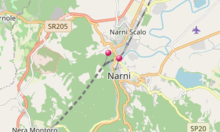
Narni is an ancient hill town at an altitude of 240 m. It overhangs a narrow gorge of the Nera River in the province of Terni. The area around Narni was already inhabited in the Paleolithic and Neolithic Ages, as attested by finds in some of the caves. The Romans conquered Nequinum in the 4th century BC and made it a position of force in this key point of the Via Flaminia the famous road which connected the city of Rome to the Adriatic Sea. In 299 BC it became a Roman Municipality, and took the name Narnia. It is very close to the Geographic centre of Italy. Jean-Baptiste Camille Corot painted in 1826 ’Bridge of Narni over the Nera River’.
The Abbey of San Cassiano is a former Benedictine monastery, located on Monte Santa Croce, outside of the town of Narni. Documentary evidence dates the monastery in 1091 falling under the governance of the Abbey of Farfa in the Lazio. However epigraphs at the site point to an earlier foundation. One sarcophagus notes the 10th-century discovery of relics of the Blessed Orso, a local monk. It is possible that an abbey at the site dates to the occupation of Italy by the Byzantine general Belisarius in the 6th century.
.hero.jpg?w=320)
.hero.jpg?w=320)