Menu
San Leo (249)
Photo: San Leo

Emilia-Romagna
621 Photos
44° 22′ N, 11° 6′ E

Description

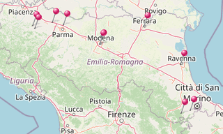
Emilia-Romagna is an administrative Region of Northern Italy, comprising the former regions of Emilia and Romagna. It has an area of 22,446 km², and about 4.4 million inhabitants.

Emilia-Romagna is one of the richest, most developed regions in Europe, and it has the third highest GDP per capita in Italy. 
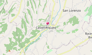
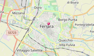
Bologna, its capital, has one of Italy’s highest quality of life indices and advanced social services.

Emilia-Romagna is also a cultural and tourist centre, being the home of the University of Bologna, one of the first universities in the world, containing Romanesque and Renaissance cities (such as Modena, Parma and Ferrara), being a centre for food and automobile production (home of automotive companies such as Ferrari, Lamborghini, Maserati, Pagani, De Tomaso and Ducati) and having lively coastal resorts such as Rimini and Riccione.

Map

Map: Emilia-Romagna
Map: Emilia-Romagna

List of sights
621 Photos

Castell’Arquato (4)
Photo: Castell’Arquato

Castell’Arquato
38 Photos

Castell’Arquato, located on the first hills of Val d’Arda approximately 30 km from Piacenza and 35 km from Parma is a medieval town of traditional structure …

Map: Castell’Arquato
Certosa di Paradigna (1)
Photo: Certosa di Paradigna

Certosa di Paradigna
3 Photos

The Abbey Valserena, better known as Certosa di Paradigna, is a former Cistercian abbey located on the northern outskirts of Parma, in the locality Paradigna

Map: Certosa di Paradigna
Ferrara (66)
Photo: Ferrara

Ferrara
100 Photos

Ferrara is situated 50 km north-north-east of Bologna, on the Po di Volano, a branch channel of the main stream of the Po River, located 5 km north. The …

Map: Ferrara
Map: Ferrara
Fontanellato (35)
Photo: Fontanellato

Fontanellato
16 Photos

Fontanellato is a small town in the province of Parma, in the plains of the Po River, about 20 km west of Parma towards Piacenza. The town was built up …

Map: Fontanellato
Map: Fontanellato
Mille Miglia (28)
Photo: Mille Miglia

Mille Miglia
162 Photos

The Mille Miglia was an open-road endurance race which took place in Italy twenty-four times from 1927 to 1957 (thirteen before the war, eleven from 1947). …

Map: Mille Miglia
Map: Mille Miglia
Modena (38) Duomo
Photo: Modena, Duomo

Modena
66 Photos

Modena, a city on the south side of the Po valley in the Emilia-Romagna, is the seat of an archbishop, but is now best known as the “capital of engines”, …

Map: Modena
Map: Modena
Ravenna (36) San Vitale
Photo: Ravenna, San Vitale

Ravenna
110 Photos

Ravenna, a city in the Emilia-Romagna, is inland, but connected to the Adriatic Sea by a canal. Ravenna was the capital city of the Western Roman Empire

Map: Ravenna
Map: Ravenna
San Leo (12)
Photo: San Leo

San Leo
60 Photos

San Leo, a village in the region Emilia-Romagna, located about 135 km south-east of Bologna and about 35 km south of Rimini, is home to a large fortress …

Map: San Leo
Map: San Leo
Sant’Agata Feltria (15)
Photo: Sant’Agata Feltria

Sant’Agata Feltria
11 Photos

Sant’Agata Feltria, a village in the region Emilia-Romagna, located about 125 km south-east of Bologna and about 45 km south of Rimini, is home to a large …

Map: Sant’Agata Feltria
Vigoleno (82)
Photo: Vigoleno

Vigoleno
55 Photos

Vigoleno’s origins are rooted in the Roman era: the name comes from the Latin Vicus Lyaeo, a place consecrated to Bacchus because of its exquisite wines. …

Map: Vigoleno
Map: Vigoleno