.hero.landscape.jpg)

.jpg)
.jpg)
.jpg)
.jpg)
.jpg)
.jpg)
.jpg)
.jpg)
.jpg)
.jpg)
.jpg)
.jpg)
.jpg)
.jpg)
.jpg)
.jpg)
.jpg)
.jpg)
.jpg)
.jpg)
.jpg)
.jpg)
.jpg)
.jpg)
.jpg)
.jpg)
.jpg)
.jpg)
.jpg)
.jpg)
.jpg)
.jpg)
.jpg)
.jpg)
.jpg)
.jpg)
.jpg)
.jpg)
.jpg)
.jpg)
.jpg)
.jpg)
.jpg)
.jpg)
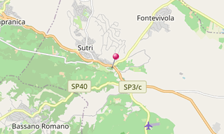
Sutri (ancient Sutrium) occupied an important position on road into Etruria, the later Via Cassia. It came into the hands of Rome after the fall of Veii, and a Latin colony was founded there until it was lost again in 386 BC, recovered and recolonised around 383 BC. It was besieged by the Etruscan in 311 - 310 BC, but not taken.
.hero.jpg?w=320)
.hero.jpg?w=320)
.hero.jpg?w=320)
.hero.jpg?w=320)
.hero.jpg?w=320)
.map.png)