.hero.landscape.jpg)
.hero.jpg?w=320)
.hero.jpg?w=320)
.hero.jpg?w=320)
.hero.jpg?w=320)

.hero.jpg?w=320)
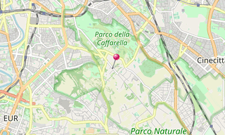
/Glyptothek-(337).hero.jpg?w=320)
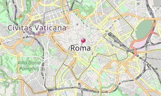
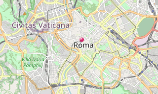
.map.png)
.hero.jpg?w=320)
.hero.jpg?w=320)
.hero.jpg?w=320)

.hero.jpg?w=320)
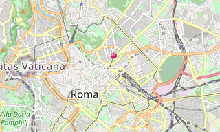
/Pantheon-(052).hero.jpg?w=320)
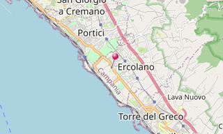
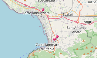
.map.png)
.hero.jpg?w=320)
.hero.jpg?w=320)
.hero.jpg?w=320)
.hero.jpg?w=320)
.hero.jpg?w=320)
.hero.jpg?w=320)
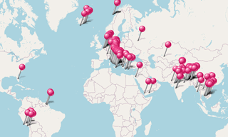
The Roman Empire was the post-Republican period of ancient Rome. As a polity it included large territorial holdings around the Mediterranean Sea in Europe, Northern Africa, and Western Asia ruled by emperors. From the accession of Caesar Augustus to the military anarchy of the 3rd century, it was a principate with Italy as metropole of the provinces and the city of Rome as sole capital (27 BC – AD 286).
After the military crisis, the empire was ruled by multiple emperors who shared rule over the Western Roman Empire and over the Eastern Roman Empire (also known as the Byzantine Empire). Rome remained the nominal capital of both parts until AD 476, when the imperial insignia were sent to Constantinople, following the capture of Ravenna by the barbarians of Odoacer and the subsequent deposition of Romulus Augustulus.
The adoption of Christianity as the state church of the Roman Empire in AD 380 and the fall of the Western Roman Empire to Germanic kings conventionally marks the end of Classical antiquity and the beginning of the Middle Ages. Those events, along with the gradual hellenization of the Eastern Roman Empire is why historians distinguish the medieval Roman Empire that remained in the Eastern provinces as the Byzantine Empire.
-Street-art/Schlachthof-(Munich)-(278)-Street-Art.hero.jpg?w=320)