Menu
Procida (99)
Photo: Procida

Campania
1,581 Photos
40° 43′ N, 14° 48′ E

Description

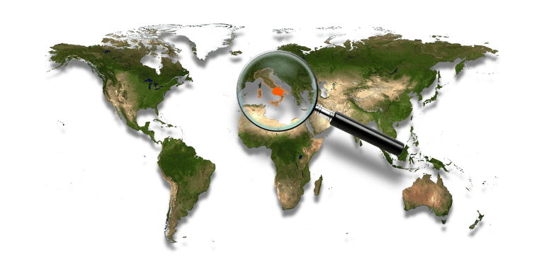
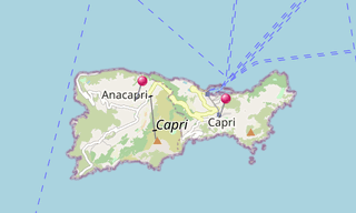
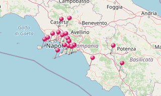
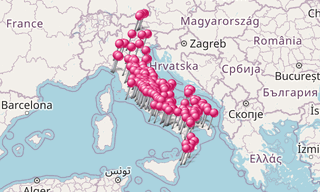
Campania is a region in southern Italy. The region has a population of around 5.8 million people, making it the second most populous region of Italy; its total area of 13,590 km² makes it the most densely populated region in the country.

Located on the Italian Peninsula, with the Mediterranean Sea to the west, it includes the small Phlegraean Islands and Capri for administration as part of the region.

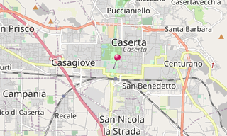
It was colonised by Ancient Greeks and was part of Magna Graecia. During the Roman era the area maintained a Greco-Roman culture. …

Show the remaining text

The capital city of Campania is Naples. Campania is rich in culture, especially in regards to gastronomy, music, architecture, archaeological and ancient sites such as Pompeii, Herculaneum, Paestum and Velia.

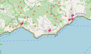
The name of Campania itself is derived from Latin, as the Romans knew the region as Campania Felix, which translates into English as “Fertile Countryside”.

The rich natural sights of Campania make it highly important in the tourism industry, especially along the Amalfi Coast, Mount Vesuvius and the island of Capri.

Map

Map: Campania
Map: Campania

List of sights
1,581 Photos

Furore (16)
Photo: Furore

Amalfi Coast
192 Photos

The Amalfi Coast (Costiera Amalfitana), on the south of Naples, extends from Positano in the west to Vietri sul Mare in the east.The towns lying on the …

Map: Amalfi Coast
Map: Amalfi Coast
Capri (28)
Photo: Capri

Capri
80 Photos

Capri is an Italian island in the Tyrrhenian Sea of the Sorrentine Peninsula. It has been a resort since the time of the Roman Republic. Features of the …

Map: Capri
Map: Capri
Caserta (12)
Photo: Caserta

Caserta
210 Photos

Caserta is located north east of Naples on the edge of the Campanian Plain at the foot of the Subapennine mountain range.

Map: Caserta
Map: Caserta
Ercolano (12)
Photo: Ercolano

Ercolano
103 Photos

Ercolano (Herculaneum) is an ancient Roman town, located in the province of Naples which has been destroyed, along with Pompeii, in the eruption of Mount Vesuvius

Map: Ercolano
Map: Ercolano
Ischia (405)
Photo: Ischia

Ischia
80 Photos

Ischia is a volcanic island in the Tyrrhenian Sea. It lies at the northern end of the Gulf of Naples, about 30 km from the city of Naples. It is the largest …

Map: Ischia
Map: Ischia
Marina di Cassano (Piano di Sorrento) (189)
Photo: Marina di Cassano (Piano di Sorrento)

Marina di Cassano (Piano di Sorrento)
60 Photos

The Marina di Cassano, also known as Porto di Cassano, is located in the Italian municipality of Piano di Sorrento. The Marina di Cassano is a fishing village …

Map: Marina di Cassano (Piano di Sorrento)
Mount Vesuvius (32)
Photo: Mount Vesuvius

Mount Vesuvius
50 Photos

Mount Vesuvius (Vesuvio) is a stratovolcano on the Bay of Naples, Italy, about 9 km east of Naples and a short distance from the shore. It is the only volcano …

Map: Mount Vesuvius
Map: Mount Vesuvius
Duomo di San Gennaro (15)
Photo: Duomo di San Gennaro

Naples
56 Photos

Naples is the capital of the region of Campania. The city is known for its rich history which began more than 2,800 years ago. Naples is located halfway …

Map: Naples
Map: Naples
Certosa di Padula (66)
Photo: Certosa di Padula

Padula
120 Photos

The monastery of Padula (Certosa di Padula / Certosa di San Lorenzo), founded by Tommaso San Severino in 1306, constitutes the second largest Chartreuse …

Map: Padula
Map: Padula
Paestum (66)
Photo: Paestum

Paestum
60 Photos

Paestum, situated close to the tyrrhenian coast on the road linking Agropoli to Battipaglia, was founded around the end of the 7th century BC by colonists …

Map: Paestum
Map: Paestum
Procida (30)
Photo: Procida

Procida
152 Photos

Procida is one of the Phlegrean islands off the coast of Naples in southern Italy. The island is between Cape Miseno and the island of Ischia. With its …

Map: Procida
Map: Procida
Romagnano al Monte (346)
Photo: Romagnano al Monte

Romagnano al Monte
132 Photos

Romagnano al Monte is a village at the borders of Campania with Basilicata. It was destroyed in the Irpinia earthquake of 1980 and rebuilt a few kilometres …

Map: Romagnano al Monte
Oplontis (13)
Photo: Oplontis

Roman Villas
134 Photos

Oplontis was a town near Pompeii, in the Roman Empire. On August 24 AD 79, the eruption of Mount Vesuvius buried it under large levels of ash.Oplontis, …

Map: Roman Villas
Map: Roman Villas
Sant’Agata de’ Goti (317)
Photo: Sant’Agata de’ Goti

Sant’Agata de’ Goti
126 Photos

Sant’Agata dei Goti in the Province of Benevento in the Italian region Campania, is located about 35 km north-east of Naples near the Monte Taburno. The …

Map: Sant’Agata de’ Goti
Solfatara Vulcano (12)
Photo: Solfatara Vulcano

Solfatara Vulcano
26 Photos

Solfatara is a shallow volcanic crater at Pozzuoli, near Naples. It is a dormant volcano, which still emits jets of steam with sulphurous fumes. The name …

Map: Solfatara Vulcano